What is recorded here
Grave Yard in County Kildare remains an active burial place inside a modern stone wall, though the earliest legible markers date to the 18th century. The southern sector once held a church according to the 1838 Ordnance Survey map, but no surface trace of that building remains visible. The gentle slope and unbroken pasture suggest a continuous relationship between the living community and the dead rather than a abandoned relic.
On a very gentle NW-slope in gently undulating pastureland. A square area (dims. c. 40m NE-SW; c. 40m NW-SE) is enclosed by a modern stone wall and is still used for burial. The earliest legible grave-markers date to the 18thC. There is no visible surface trace of a church (KD003-008001-) which was contained in the S sector, according to the 1st. ed. (1838) of the OS 6-inch map.
Compiled by: Gearóid Conroy
Date of upload: 10 June 2011
The monument record does not grant public access. Check the route and ask the landowner before entering private land.
- What survives
- Recorded monument
Places near here
 Site of ChurchChurch · 12 yd
 Site of Balrinnet CastleCastle, unclassified · 964 yd
 Buggan's WoodWood · 1624 yd
 CastleCastle, unclassified · 1.0 mi
 Saint Brigid's Catholic Churchchurch/chapel · 1.3 mi
 Bog WoodsWood · 1.3 mi
 Ecclesiastical enclosure in KilrainyEcclesiastical enclosure · 1.3 mi
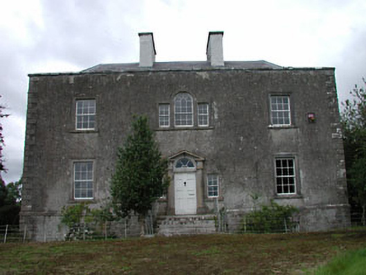 Ballinderry Househouse · 1.3 mi
 Croppies' GraveMemorial · 3.4 mi
 The Fairy BowerHeritage attraction · 8.3 mi
 Lullymore Heritage ParkHeritage attraction · 8.3 mi
 Sli na Slainte - mapVisitor information · 9.8 mi