What is recorded here
Situated on a slight S-facing slope. The church of Newbawn (WX035-038001-) is within a rectangular graveyard (dims. c. 35m N-S; c. 35m E-W) defined by earthen banks with external stone-facing, and hedges.
Compiled by: Michael Moore
Date of upload: 23 October, 2012
The monument record does not grant public access. Check the route and ask the landowner before entering private land.
- What survives
- Recorded monument
Places near here
 graveyard/cemeterygraveyard/cemetery · 2 yd
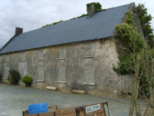 Newbawn Housefarm house · 278 yd
 Castle (in ruins)Castle, tower house · 653 yd
 Embanked enclosureFairy fort / earthen ringfort · 1599 yd
 Enclosure in CoolboyEnclosure · 1.1 mi
 Castle in ruinsCastle, tower house · 2.0 mi
 Carrickbyrne HillMountain / peak · 2.1 mi
 Coolcliffe HouseRuins · 4.0 mi
 Glenour MonumentMemorial · 4.5 mi
 Camaross HillMountain / peak · 4.8 mi
 Forest Of The DunbrodyForest · 5.8 mi
 Carrig-On-BannowVisitor information · 7.5 mi