What is recorded here
Grave Yard occupies the south-east quadrant of an early ecclesiastical enclosure in County Cork, Ireland. Low uninscribed markers lie south of the church ruins, while a modern cross north of the building marks a famine burial plot. The place is disused, but it still preserves generations of local death and memory inside its earthen bank.
Forming SE quadrant of early ecclesiastical enclosure (CO108-02701-); enclosed by earthen bank. Lines of low, uninscribed markers to S of ruins of church (CO108-02703-); few inscribed headstones but earliest noted dates to 1770s; some chest tombs. Modern cross to N of church marks famine burial plot. Disused.
The above description is derived from the published 'Archaeological Inventory of County Cork. Volume 1: West Cork' (Dublin: Stationery Office, 1992). In certain instances the entries have been revised and updated in the light of recent research.
Date of upload/revision: 14 January 2009
Early medieval to post-medieval graveyard; associated with a religious site and containing both inscribed and uninscribed markers, indicating long-term use for Christian burials. Its location within an ecclesiastical enclosure suggests a local place of worship and community significance.
The monument record does not grant public access. Check the route and ask the landowner before entering private land.
- What survives
- Recorded monument
Places near here
 Fanlobbur Church (in Ruins)Church · 1 yd
 Mass-rock in Gortnamucklagh (carbery East (w.d) By.)Mass-rock · 956 yd
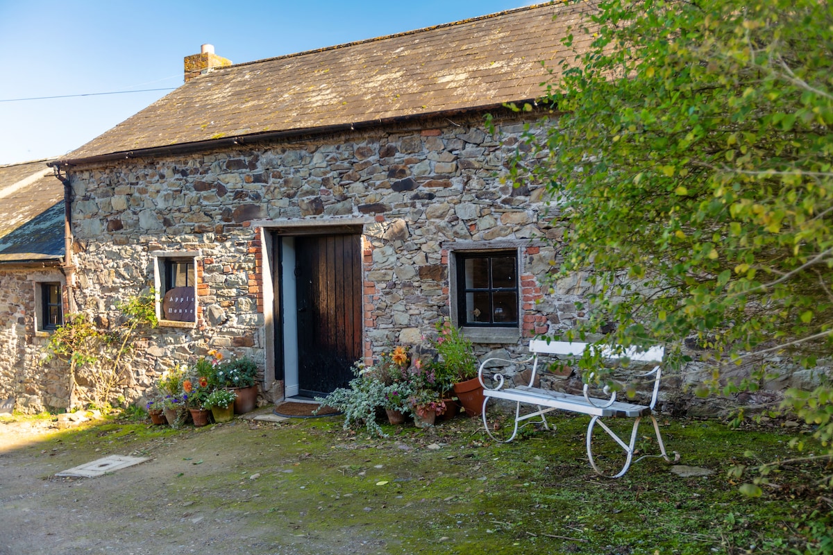 Enclosure in Acres (carbery East (w.d.) By.)Enclosure · 1213 yd
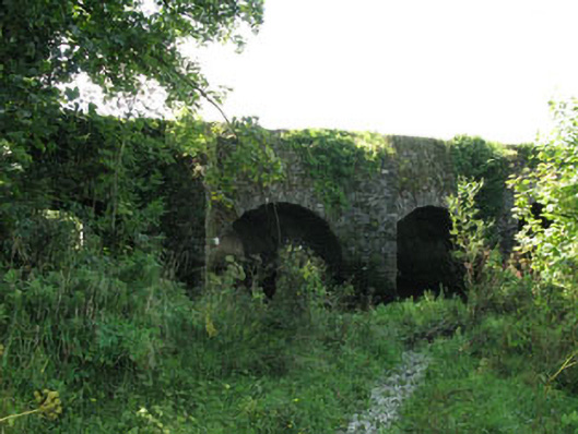 The Long Bridgebridge · 1.6 mi
 Ballynacarriga CastleCastle, tower house · 1.9 mi
 Graveyard in Dunmanway NorthGraveyard · 1.9 mi
 Dunmanway Heritage CentreVisitor information · 2.3 mi
 Irish National Forestry FoundationNature reserve · 2.5 mi
 Castle (Site of)Castle, Anglo-Norman masonry castle · 2.6 mi
 Mount GunneryMountain / peak · 2.6 mi
 Funmanway Adventure LandHeritage attraction · 2.8 mi
 Mohona WoodWood · 3.0 mi