What is recorded here
Situated on a level landscape, c. 200m W of Mulhussy castle (ME049-012----). The church or chapel (ME049-011----) is within a rectangular graveyard (dims c. 45m NW-SE; c. 35m NE-SW) defined by an earthen bank and hedge at SE, a wide fosse or moat (Wth of top c. 5m; D c. 2m) at SW and NW and the remains of a stone wall at NE. There are three headstones and some grave-markers (FitzGerald 1892). The church and graveyard may be within a moated site (ME049-011002-).
Compiled by: Michael Moore
Date of upload: 9 April, 2015
The monument record does not grant public access. Check the route and ask the landowner before entering private land.
- What survives
- Recorded monument
Places near here
 Mulhussy CastleCastle, tower house · 204 yd
 Enclosure in MulhusseyEnclosure · 587 yd
 Concentric enclosure in MulhusseyConcentric enclosure · 1456 yd
 1798 MemorialMemorial · 1.1 mi
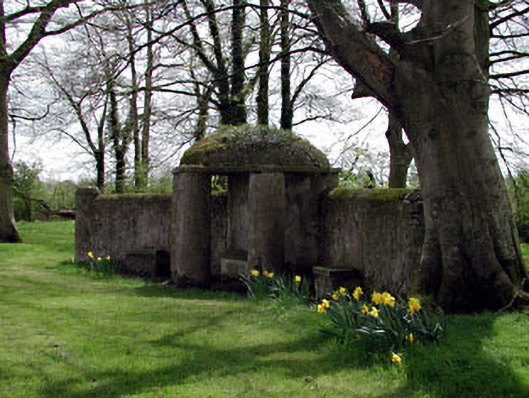 Larchill Housefolly · 1.2 mi
 Larchil Arcadian GardensHeritage attraction · 1.3 mi
 Rodanstown fortCastle, motte · 1.3 mi
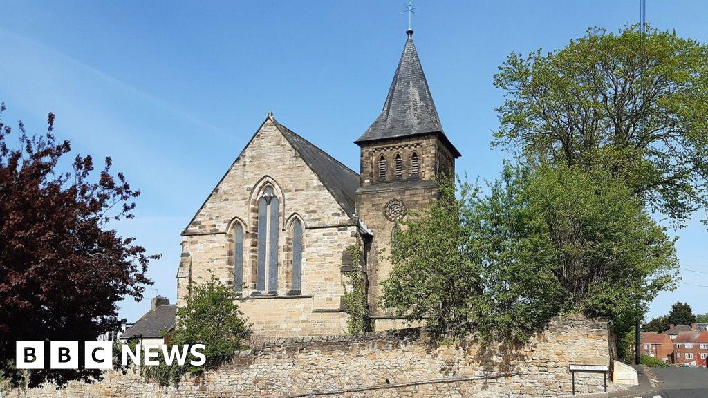 Church (Disused)Church · 1.4 mi
 MullaghMountain / peak · 1.6 mi
 Saint Oliver Plunkett 1625-1681Memorial · 2.3 mi
 Kilgar GardensHeritage attraction · 3.2 mi
 Common LimeCommon Lime · 3.9 mi