What is recorded here
On a rise on E bank of River Corrib some 250m SE of the village of Menlough. Indicated on 1st ed. of OS 6-inch map as an irregular unenclosed area (c. 45m by c. 25m). Since enlarged and enclosed: the earliest dated burials are of late 19th-C date.
The above description is derived from the published 'Archaeological Inventory of County Galway Vol. I - West Galway'. Compiled by Paul Gosling (Dublin: Stationery Office, 1993).
Date of upload: 05 August 2010
The monument record does not grant public access. Check the route and ask the landowner before entering private land.
- What survives
- Recorded monument
Places near here
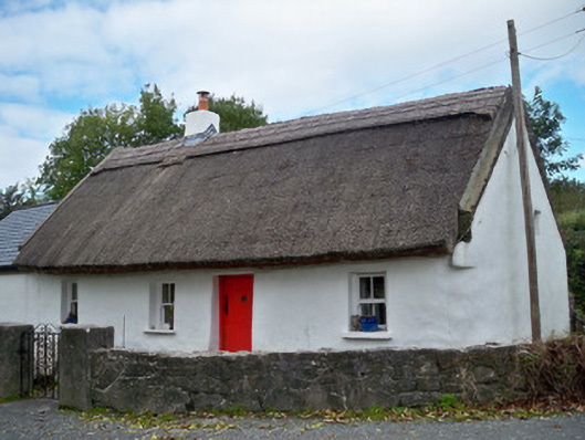 The Thatchhouse · 332 yd
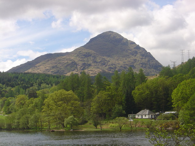 An ChroisArchaeological place · 342 yd
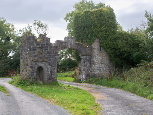 Menlough Castlegates/railings/walls · 353 yd
 Menlo Castle Entrance ArchRuins · 362 yd
 Menlo CastleCastle · 543 yd
 Enclosure in BushyparkEnclosure · 568 yd
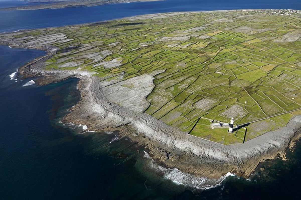 Jordan's IslandIslet · 1.2 mi
 Yew Tree MazeHeritage attraction · 1.4 mi
 University of Galway GalleryGallery · 1.7 mi
 GinkgoGinkgo · 1.7 mi
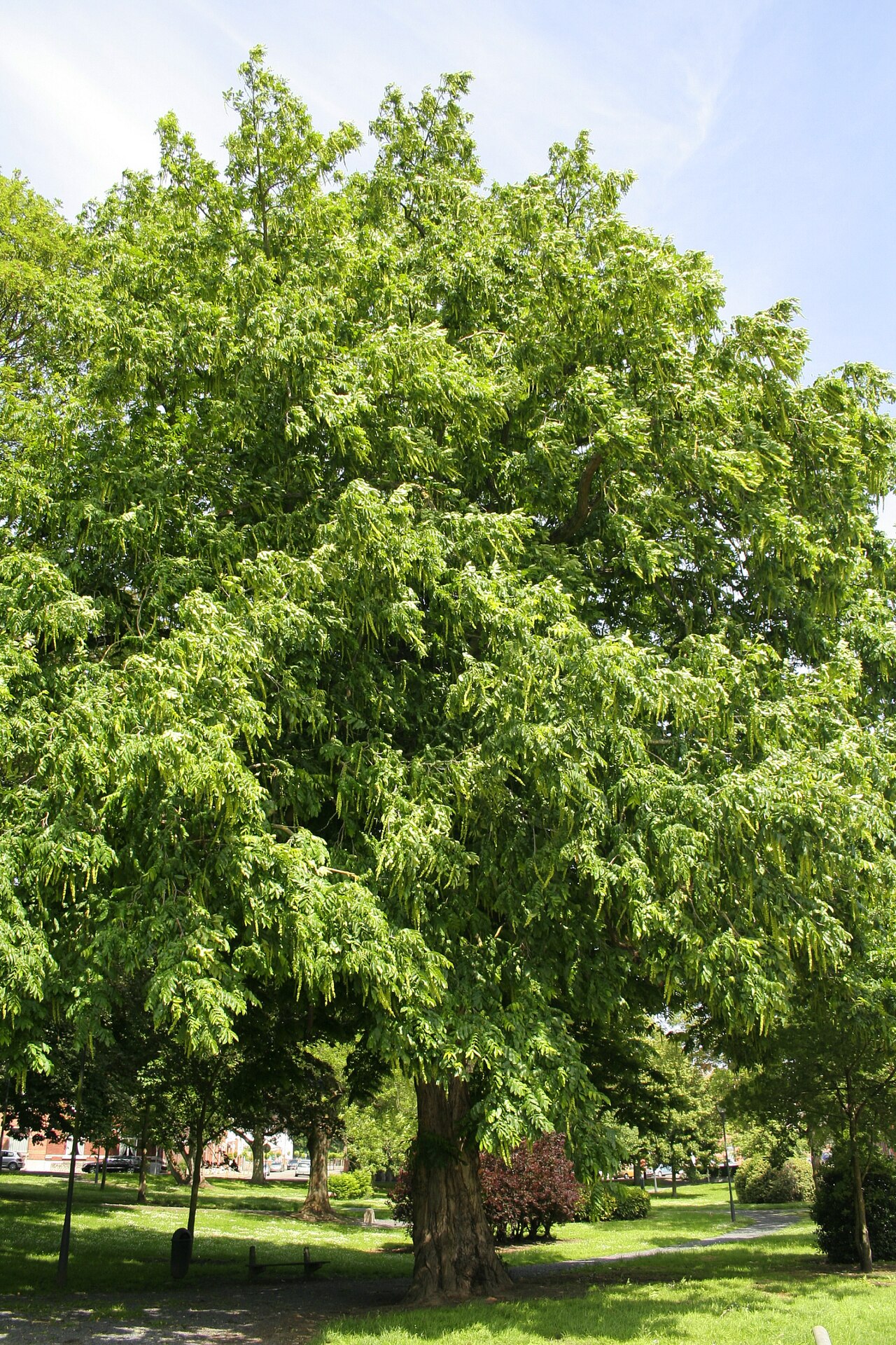 Caucasian WingnutCaucasian Wingnut · 1.7 mi
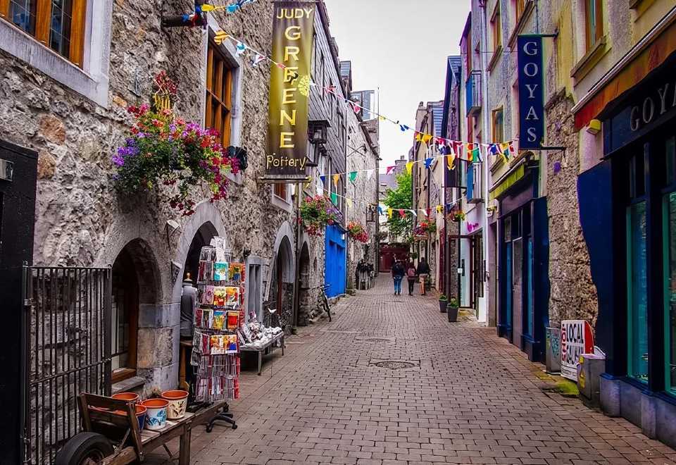 Galway GaolMemorial · 2.0 mi