What is recorded here
Situated on a rise in a fairly level landscape in the valley of the NW-SE River Blackwater, with the stream c. 1km to the E. The parish church of Martry (ME017-037----) is in a subrectangular graveyard (dims c. 50-65m E-W; c. 40m N-S) defined by masonry walls that has been extended (dims c. 50m E-W; c. 15m N-S) on the N side. According to Dopping's Visitation (1682-5) the graveyard was fenced at that time (Ellison 1972, 11).
Compiled by: Michael Moore
Date of upload; 5 June, 2014
The monument record does not grant public access. Check the route and ask the landowner before entering private land.
- What survives
- Recorded monument
Places near here
 Font in MartryFont · 11 yd
 CrossCross, Wayside cross · 502 yd
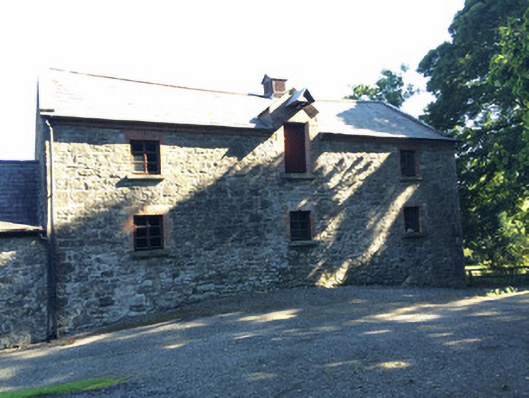 Martry Millmill (water) · 1188 yd
 Lough WoodWood · 1457 yd
 Laurel CoverWood · 1.0 mi
 BallybegMountain / peak · 1.1 mi
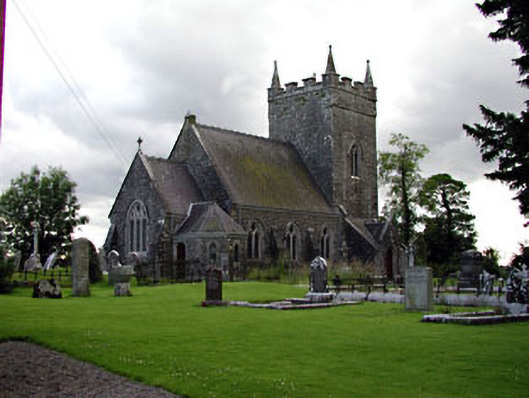 Saint Patrick's Church (Donaghpatrick)church/chapel · 1.7 mi
 Faughan HillMountain / peak · 1.9 mi
 Castle ruinsCastle · 2.6 mi
 The New Line RoadMemorial · 3.2 mi
 Saint John's CemeteryMemorial · 3.6 mi
 CastleCastle, motte · 4.4 mi