What is recorded here
A large D-shaped area (diam. c. 100m E-W) with a straight W side (L c. 90m) is defined by a low, mortared, stone wall with an entrance gate at the N. A fortified church (KD014-006001-) stands to E of centre in the interior and the earliest legible burial markers, dating to the 18th century, are concentrated to the S of the church, where there is also a cross-inscribed stone (KD014-006003-). Modern burials extend beyond the enclosing wall to the W and N. Immediately outside the graveyard wall at S is the 'Browne Mausoleum' (KD014-006004-) dated 1743, which Fitzgerald (1899-1902, 260-64) has recorded in some detail.
Compiled by: Gearóid Conroy
Date of upload: 10 June 2011
A medieval burial enclosure, likely 12th to 16th century, associated with a fortified church; it reflects ecclesiastical and defensive practices of the period.
The monument record does not grant public access. Check the route and ask the landowner before entering private land.
- What survives
- Recorded monument
Places near here
 Wogan-Browne MausoleumMonument · 28 yd
 Queen Buans GraveCastle, motte and bailey · 90 yd
 Mainham VillageArchaeological place · 106 yd
 Burial GroundRuins · 333 yd
 CastleCastle, tower house · 1148 yd
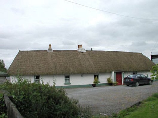 farm housefarm house · 1.2 mi
 1798 Rebellion MemorialMemorial · 1.5 mi
 Venerable Fr John Sullivan MemorialMemorial · 1.8 mi
 Loughtown CovertWood · 1.8 mi
 Dunne's IslandWood · 2.1 mi
 Donadea Forest ParkVisitor information · 2.7 mi
 Grand Canal WayWalking route · 2.8 mi