
What is recorded here
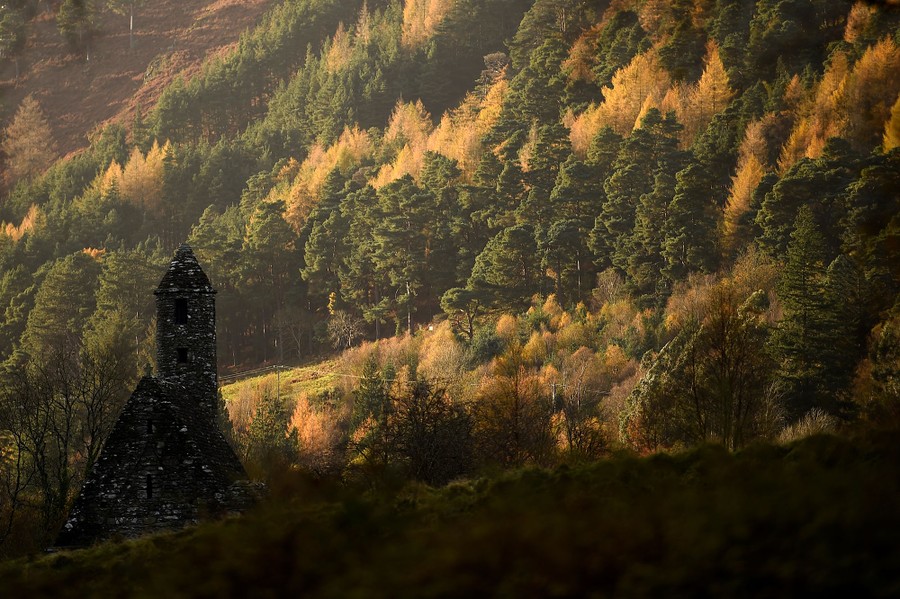
Grave Yard in County Cork, Ireland holds a ruined parish church of Macroney inside an uneven pentagonal bank, still receiving the dead after centuries. The ground rises toward the centre and drops steeply into the NE corner, as if the land itself tilted to listen. Earliest headstones date from the 18th century, yet the absence of markers north of the church leaves a gap where memory may have been swallowed by time.
Approached by laneway from road c. 200m to SE. Pentagonal graveyard (c. 40m max. N-S; c. 45m max. E-W) enclosed by overgrown earthen bank to S, W and N, and to E by stone-faced earthen bank with entrance gate from laneway. Interior surface very uneven, rising towards centre, and dropping off steeply into NE corner. Ruin of parish church of Macroney (14443) in N half. In use; earliest headstones noted date from 18th century; no gravemarkers to N of church.
The above description is derived from the published 'Archaeological Inventory of County Cork. Volume 4: North Cork' (Dublin: Stationery Office, 2000). In certain instances the entries have been revised and updated in the light of recent research.
Date of upload/revision: 14 January 2009
The monument record does not grant public access. Check the route and ask the landowner before entering private land.
- What survives
- Recorded monument
Places near here
 Macroney CastleCastle, tower house · 617 yd
 IndicatedHouse, vernacular house · 848 yd
 Fleetwood Mill (in Ruins)Mill, unclassified · 1062 yd
 Fulacht fia in GlansheskinFulacht fia · 1238 yd
 Glansheskin WoodVisitor information · 1.0 mi
 Glansheskin Forest Recreation AreaVisitor information · 1.0 mi
 Kilworth WoodWood · 1.1 mi
 G YdGraveyard · 1.3 mi
 Leitrim Castle (in Ruins)Castle, Anglo-Norman masonry castle · 1.3 mi
 Kent BridgeMemorial · 3.8 mi
 FlagCave · 3.8 mi
 Graveyard in FermoyGraveyard · 3.9 mi
Other information
Photo: Credit not shown in the picture search · Rights wording not checked; contact us if this picture should be removed