What is recorded here
Situated on N facing slope of low rising ground with Lynn House and Lough Ennell 190m and 290m to W respectively. Mullingar town lies 3.4km to N. A sub-triangular shaped area (approx. dims. 57m E-W x 54m N-S) enclosed by a stone wall of post-1700 date entered through a gate and stile at S end of E wall. Straight sided wall at N and E with curving graveyard wall from S to W which may follow line of Early Christian ecclesiastical enclosure (Swan 1988, 13). Medieval parish church (WM026-003----) of Lynn lies in N quadrant of graveyard. Memorials date from 18th and 19th century and are mainly located to the E, S and W of the church. The graveyard wall has been broken down in several places due to root disturbance of the trees planted around the perimeter of the graveyard.
Compiled by: Caimin O'Brien
Date of upload: 12 December 2017
The monument record does not grant public access. Check the route and ask the landowner before entering private land.
- What survives
- Recorded monument
Places near here
 Ecclesiastical enclosure in LynnEcclesiastical enclosure · 1 yd
 Church (in Ruins)Church · 21 yd
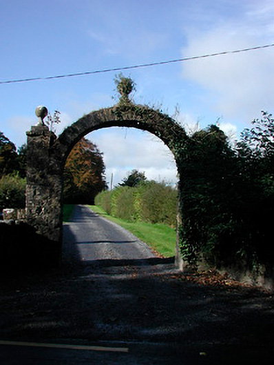 Lynn Housedemesne walls/gates/railings · 92 yd
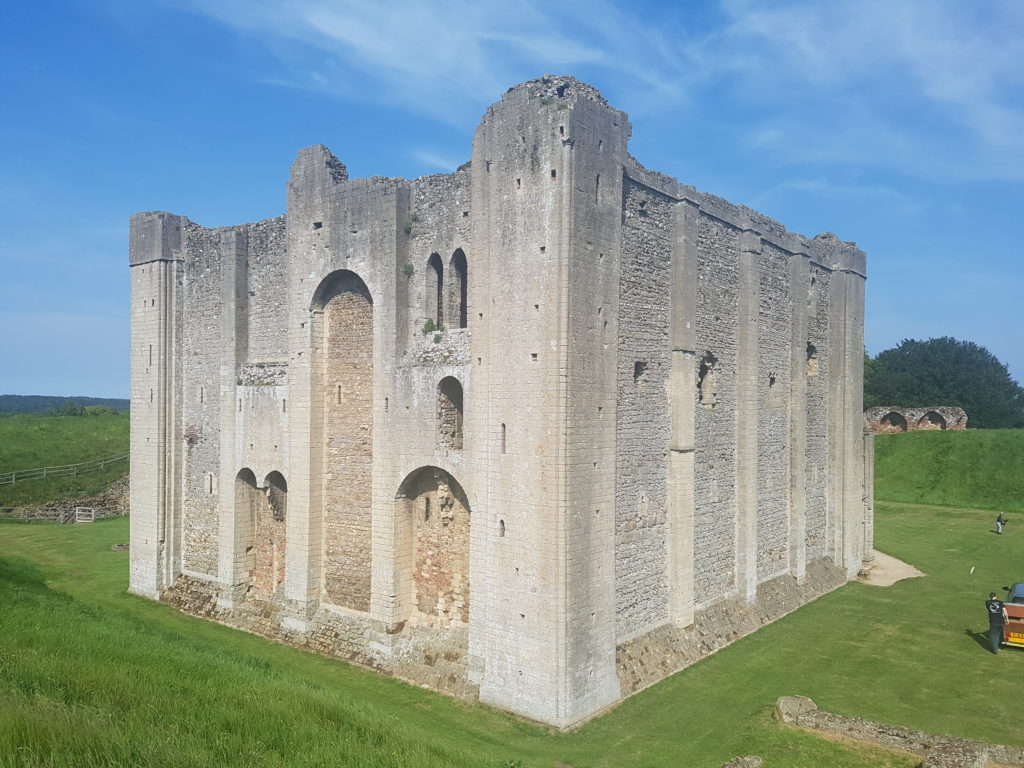 CastleCastle, unclassified · 307 yd
 Enclosure in LynnEnclosure · 703 yd
 Belvedere house and gardensVisitor information · 1.4 mi
 Ladestown Ho.House, fortified house · 1.5 mi
 Mollie Moo's Pet FarmHeritage attraction · 1.8 mi
 Blind IslandIslet · 2.0 mi
 Ash IslandIslet · 2.7 mi
 United Nations War MemorialMemorial · 3.0 mi
 Saint Brigid's WellSpring · 3.8 mi