What is recorded here
Marked on the 1835 'OS 6-inch' map (map diam. c. 45m). Circular graveyard situated on top of hillock. No remains of church (LH014-005001-) visible.
Compiled by: Claire Breen
Date of upload: 30 May 2012
The monument record does not grant public access. Check the route and ask the landowner before entering private land.
- What survives
- Recorded monument
Places near here
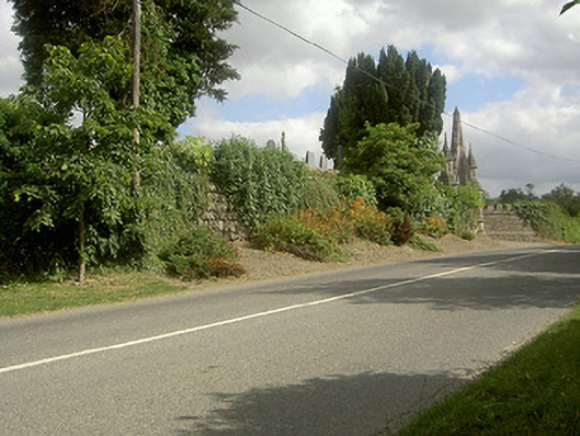 graveyard/cemeterygraveyard/cemetery · 9 yd
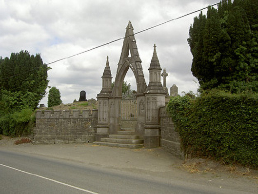 gates/railings/wallsgates/railings/walls · 18 yd
 Remains of a Monumental PillarCross, Wayside cross · 395 yd
 Long PlantationForest · 484 yd
 Louth HallCastle, tower house · 658 yd
 Enclosure in Arthurstown LittleEnclosure · 1076 yd
 MoatCastle, motte and bailey · 1520 yd
 SycamoreSycamore · 2.1 mi
:no_upscale()/cdn.vox-cdn.com/uploads/chorus_asset/file/25593391/County_Louth_6th.jpg) LouthMountain / peak · 2.7 mi
LouthMountain / peak · 2.7 mi Sir Frederick Foster MemorialMemorial · 3.5 mi
 Graveyard in StickillinGraveyard · 4.1 mi
 Mount OrielMountain / peak · 8.3 mi