What is recorded here
In farmland, on N-facing slope overlooking Glashanagard River. Roughly-oval area (c. 45m N-S; c. 50m E-W) enclosed by low stone wall, with gateway on E side. Surface of graveyard uneven and sloping down steeply on N side following natural gradient. Headstones date to 19th and 20th centuries, and are concentrated to W and S of ruin of parish church of Loghill (LI009-005001-) which is located NE-of-centre.
From the National Monuments Service (Archaeological Survey of Ireland) record LI009-005002
The monument record does not grant public access. Check the route and ask the landowner before entering private land.
- What survives
- Recorded monument
Places near here
Photo credits
- National Inventory of Architectural Heritage
- Vadim Manuylov, Wikimedia Commons · CC BY-SA 3.0
- N Chadwick, Geograph · CC BY-SA 2.0
- Roger McLachlan, Wikimedia Commons · CC BY-SA 2.0
- Graham Horn, Geograph · CC BY-SA 2.0
- dougf, Geograph · CC BY-SA 2.0
- Graham Horn, Geograph · Creative Commons Attribution-ShareAlike 2.0
 bridge711 ydEnclosure in Loghill (shanid By.)Enclosure · 837 yd
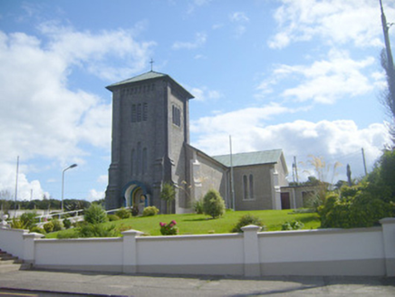 Catholic Church of the AssumptionChurch/chapel · 859 yd
 Monterey Cypress1.4 miProspect HillMountain / peak · 2.4 mi
 Foynes Island ViewpointViewpoint · 3.2 mi
 Foynes Flying Boat & Maritime MuseumMuseum · 3.3 mi
 Labasheeda BayBay · 3.4 mi
 Labasheeda QuayVisitor information · 3.4 mi
 Shanid Castle (in ruins)Castle, Anglo-Norman masonry castle · 3.8 mi
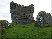 Shanid CastleCastle · 3.8 mi
 Grave YardGraveyard · 4.2 mi
More archaeology and monuments in County Limerick · All of County Limerick
What do you know about this place?