What is recorded here
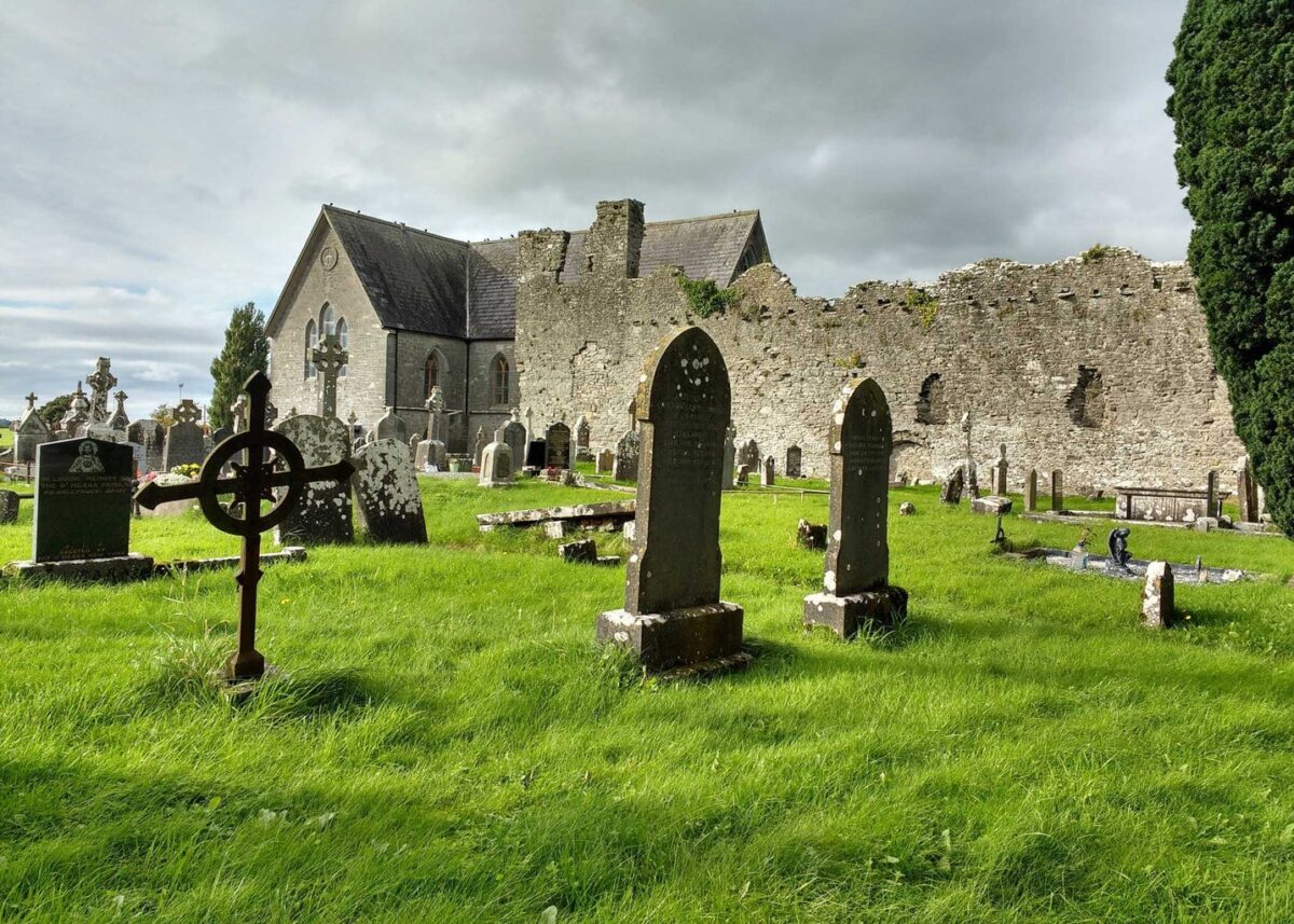
At N end of low N-S ridge, approached by passageway from public road to S. Rectangular graveyard (c. 60m N-S; c. 30m E-W) enclosed by stone wall. Just N-of-centre is ruin of parish church of Lismakeery (LI019-069001-). Most recent burials lie N of church. Scattering of headstones S of church date to 19th and 20th centuries. Ringfort (LI019-070---) lies immediately to S of graveyard.
Compiled by: Denis Power
Date of upload: 26 August 2011
See attached ASI aerial photographs ASIAP – taken on 04/03/2006.
The monument record does not grant public access. Check the route and ask the landowner before entering private land.
- What survives
- Recorded monument
Places near here
 Lismakeery Church (in ruins)Church · 17 yd
 Fulacht fia in LismakeeryFulacht fia · 185 yd
 Lismakeery Castle (in ruins)Castle, tower house · 311 yd
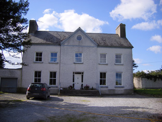 Bettyville housecountry house · 331 yd
 Fulacht fia in Milltown NorthFulacht fia · 987 yd
 Milltown Castle (in ruins)Castle, tower house · 1373 yd
 Askeaton CastleHeritage attraction · 1.8 mi
 Holly IslandIslet · 3.0 mi
 TobernablahySpring · 4.0 mi
 St. Kieran's WellSpring · 4.3 mi
 Herring RockNamed rock · 4.9 mi
 Flat cemetery in CroaghFlat cemetery · 4.9 mi
Other information
Photo: Credit not shown in the picture search · Rights wording not checked; contact us if this picture should be removed