What is recorded here
On a NE-slope, at the NE end of a ridge, in undulating terrain under pasture. Graveyard is located immediately S of Lady's Abbey (TS088-005----). The graveyard is roughly rectangular in shape (dims. 13m N-S; 48m E-W). There are a number of architectural fragments in the graveyard, including a door jamb reused as a step at the entrance to the graveyard.
Compiled by: Jean Farrelly
Date of upload: 27 November 2013
The monument record does not grant public access. Check the route and ask the landowner before entering private land.
- What survives
- Recorded monument
Places near here
 Ladys Abbey (in ruins)Religious house, Carmelite friars · 7 yd
 Enclosure in Garryduff (ballybacon Par.)Enclosure · 759 yd
 Enclosure in Monroe EastEnclosure · 924 yd
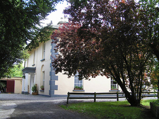 The Old Parochial Housepresbytery/parochial/curate's house · 1144 yd
 Ballydrinan CastleCastle, tower house · 1.6 mi
 Woodcock HillMountain / peak · 1.9 mi
 Bawn in RochestownBawn · 2.1 mi
 Kildanogue wildfowl sanctuary and nature reserveNature reserve · 2.4 mi
 Roche's HillMountain / peak · 3.4 mi
 Bohernagore WoodForest · 3.4 mi
 The VeeViewpoint · 3.4 mi
 Grubb’s GraveMemorial · 3.5 mi