What is recorded here
Within early ecclesiastical enclosure (CO109-02901-). Sub-rectangular area (50m N-S; 90m E-W), on steep N-facing slope; enclosed by stone wall on S side, elsewhere by stone-faced earthen bank. Headstones date from mid 18th century to present day with gravemarkers and family vaults. C of I church (CO109-02903-) and church (site of) (CO109-02904-) in S half of interior.
The above description is derived from the published 'Archaeological Inventory of County Cork. Volume 1: West Cork' (Dublin: Stationery Office, 1992). In certain instances the entries have been revised and updated in the light of recent research.
Date of upload/revision: 14 January 2009
A 19th-century graveyard within an early ecclesiastical enclosure; significance relates to its possible association with an earlier monastic or religious site.
The monument record does not grant public access. Check the route and ask the landowner before entering private land.
- What survives
- Recorded monument
Places near here
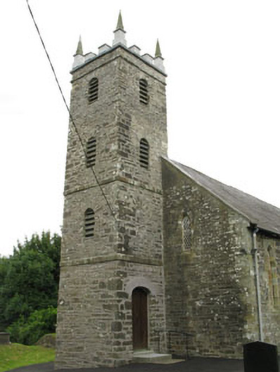 St Mary's Church of Ireland Churchchurch/chapel · 12 yd
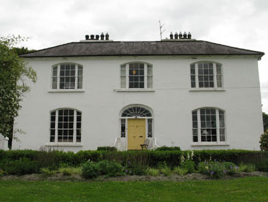 Church Hill Househouse · 232 yd
 Man-made underground passage in Kilcolman (kinalmeaky By.)Man-made underground passage · 770 yd
 Fulacht fia in Maulbrack WestFulacht fia · 1427 yd
 Tobar MacloonaboySpring · 1.4 mi
 Castle DerryCastle · 2.4 mi
 The GlenWood · 2.6 mi
 Corran HillMountain / peak · 3.8 mi
 Cottage Road WoodWood · 4.6 mi
 Green HillMountain / peak · 4.7 mi
 Monteen Castle (in Ruins)Castle, tower house · 4.8 mi
 Castle RockNamed rock · 5.1 mi