What is recorded here
On a relatively flat break of a W-facing slope, in pastureland, with a farmyard immediately to the N. St James’ Well (TS062-089----) is located c. 180m to the N and there are two large ringforts (TS062-088----; TS062-097----) c. 260m to the NNE and c. 70m to the SSE respectively. Knockkelly castle (TS062-131001-) is clearly visible on a hill 1.6km to the SSW. The public road runs past the E wall of the graveyard. The church (TS062-096----) is in the centre of a roughly rectangular graveyard (dims. 51.5m E-W; 35.7m N-S) enclosed by a stone wall (H 1.1-1.4m). It is accessed via a gate in the E wall with a stile on either side. The headstones. which are within the church and clustered on slightly higher ground surrounding the church, date from the 18th to the 20th century, with a few recent burials, the latest dating to 2010. The earliest noted headstone is erected against the internal W gable of the church and dates to 1756. There are no headstones within the E wall of the graveyard, but according to local tradition this is where famine victims were buried in unmarked graves.
Compiled by: Jean Farrelly
Date of upload: 6 March 2012
The monument record does not grant public access. Check the route and ask the landowner before entering private land.
- What survives
- Recorded monument
Places near here
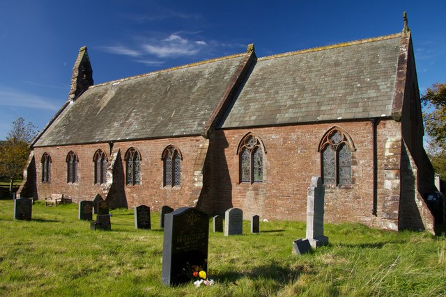 Site of St. James ChurchChurch · 9 yd
 Peppardstown Househouse · 98 yd
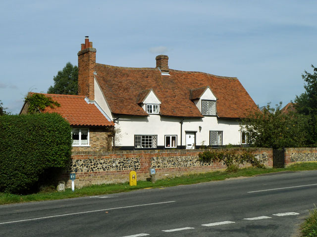 St. James WellHoly well · 181 yd
 Knockkelly CastleCastle · 1.0 mi
 Saint Johnstown CastleCastle · 1.1 mi
 St. Johnstown ChurchChurch · 1.1 mi
 Kilknockan HillMountain / peak · 2.2 mi
 Eagle HillMountain / peak · 2.7 mi
 East GateMemorial · 3.3 mi
 European YewEuropean Yew · 3.4 mi
 Grove WoodForest · 4.2 mi
 Gobban Saer's GraveArchaeological place · 7.1 mi