What is recorded here
Situated in a low-lying position between drumlins with a small NE-SW stream c. 50m to the NW. The remains of the medieval parish church of Kiltubbrid (LE024-021001-) is at the centre of a subrectangular or D-shaped graveyard (max. dims c. 45m NNW-SSE; c. 40m ENE-WSW) defined by masonry walls with the curved edge E-SSW. A modern mausoleum inside the graveyard wall at N has cut stones (LE024-021008-) from the church and a cross-slab (LE024-021006-). Memorials to O’Reilly and McMahon (LE024-021007-) also might be preserved within this structure as they are not evident in the graveyard. A medieval graveslab (LE024-021005-) is built into the N graveyard wall close to the structure. St Bridgid’s holy well (LE024-021003-) is c. 35m to the W at the entrance to the lane leading to the graveyard.
Compiled by: Michael Moore
Date of revised upload: 13 January, 2017
The monument record does not grant public access. Check the route and ask the landowner before entering private land.
- What survives
- Recorded monument
Places near here
 Church (in Ruins)Church · 6 yd
 Holy well in KiltubbridHoly well · 62 yd
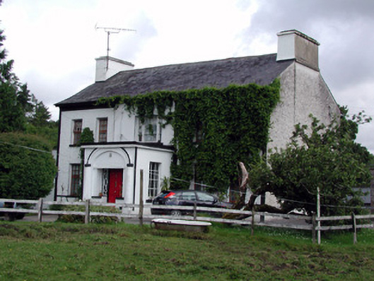 Annadale Housecountry house · 105 yd
 Small IslandIslet · 1665 yd
 Otter IslandIsland · 1712 yd
 Castle JohnCastle · 1.1 mi
 CastleforeCastle, tower house · 1.6 mi
 St. Patricks WellHoly well · 1.8 mi
 Rocking StoneNamed rock · 3.8 mi
 Sliabh an IarainnMountain / peak · 3.8 mi
 Sheemore Ambush MemorialMonument · 4.0 mi
 Leabaidh DermotCave · 4.3 mi