What is recorded here
On rock outcrop (H c. 2m) on an E-facing slope in undulating low-lying semi-karst pastureland. Indicated and named ‘Grave Yard’ on the 1842 ed. of the OS 6-inch map. This irregular trapezoidal graveyard (50m NW-SE; 38m NE-SW) is enclosed by a stone wall, with an entrance along the road at SW. The headstones all date from c. 1850 to the present, although there are some plain grave-markers. A road runs NW-SE immediately outside the SW wall of the graveyard, and appears to have been cut into the bedrock in the modern era. There is a church (CL011-003001-) in the NW part of the graveyard.
Compiled by: Mary Tunney and Conn Herriott
Date of upload: 18 January 2023
The monument record does not grant public access. Check the route and ask the landowner before entering private land.
- What survives
- Recorded monument
Places near here
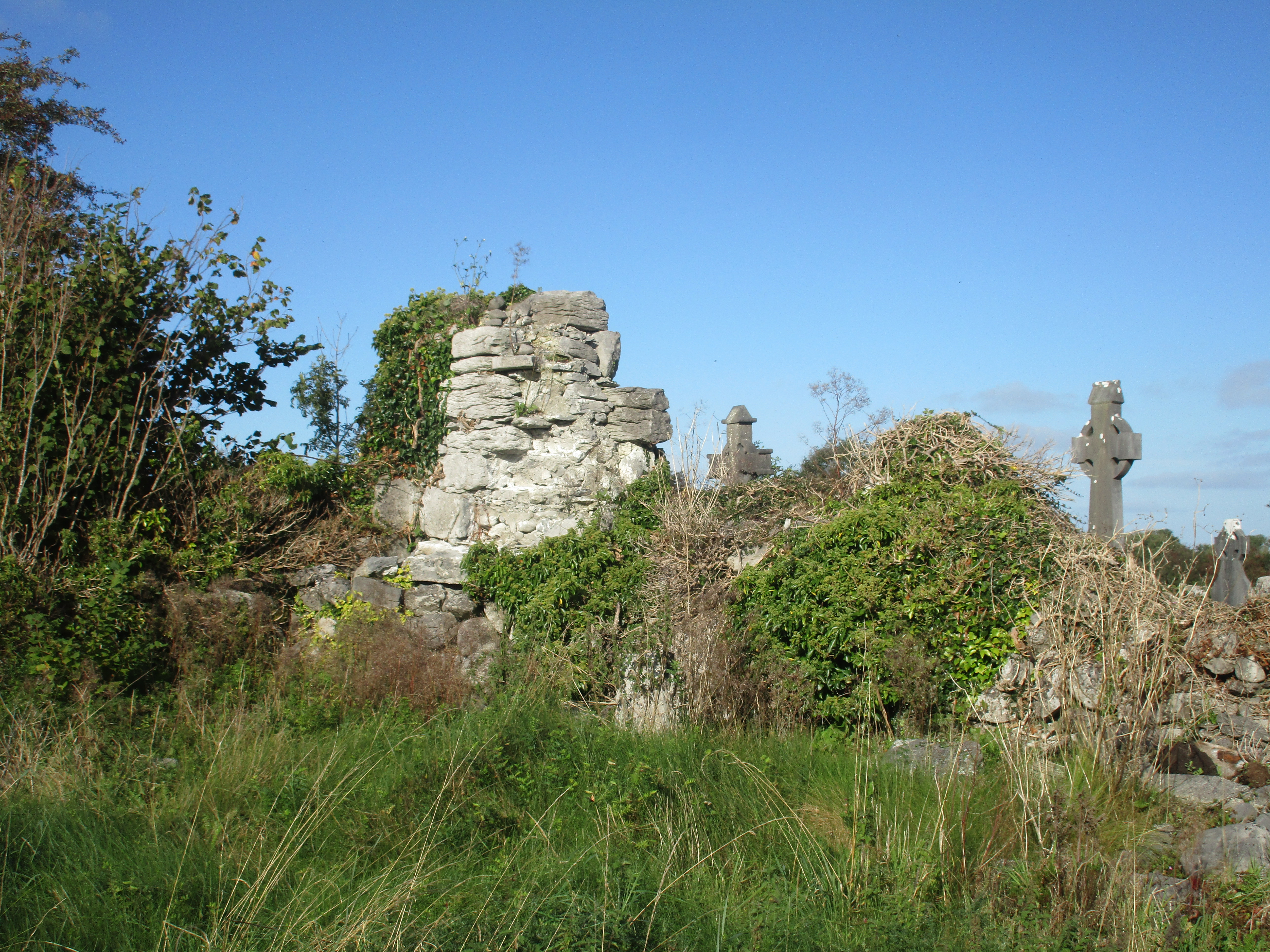 Church (in Ruins)Church · 17 yd
 IndicatedFairy fort / stone ringfort · 641 yd
 Enclosure in BallaghaglashEnclosure · 862 yd
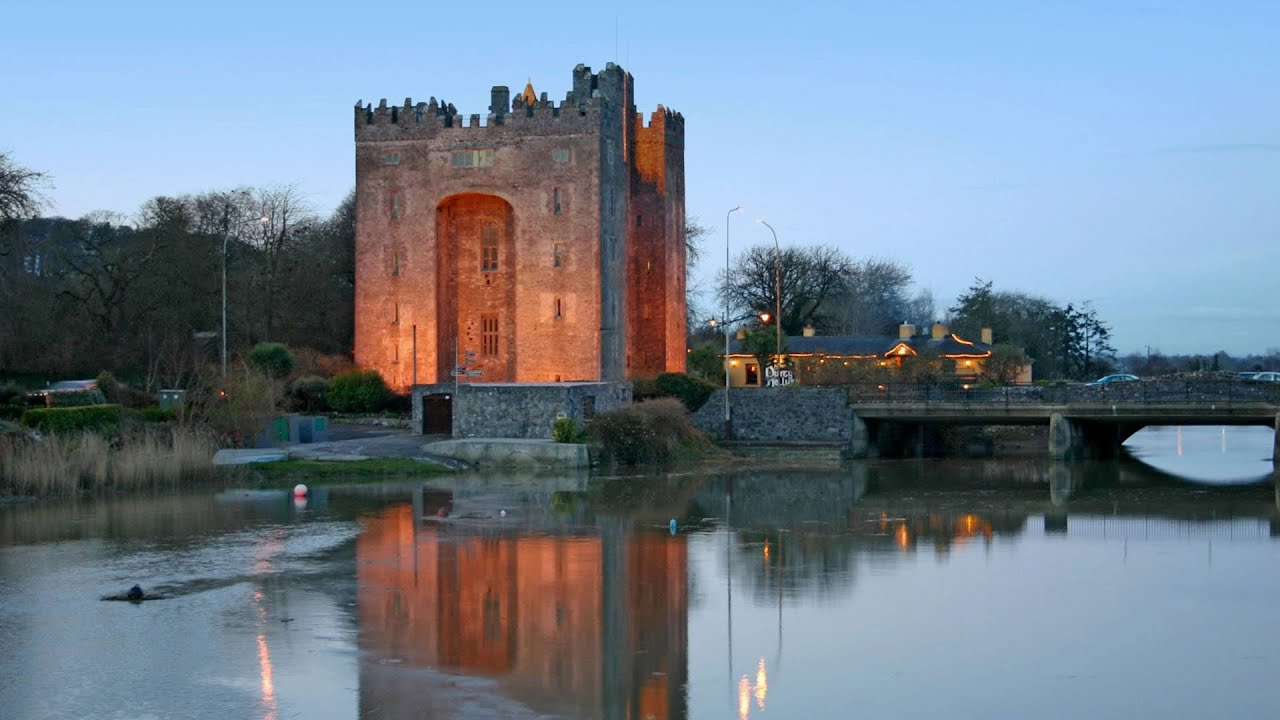 Castle (in ruins)Castle, tower house · 1.0 mi
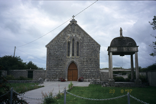 All Saints' Catholic Churchchurch/chapel · 1.1 mi
 Cloondooan Castle (in ruins)Castle, tower house · 1.4 mi
 Burren National ParkNature reserve · 2.2 mi
 Kilnaloone GraveyardArchaeological place · 2.6 mi
 Slieve RoeMountain / peak · 2.7 mi
 Kilmacduagh MonasteryHeritage attraction · 2.7 mi
 Kilmacduagh Monastic SiteVisitor information · 2.7 mi
 Mullagh MoreMountain / peak · 3.2 mi