What is recorded here
Grave Yard stands on a two-metre rock outcrop in County Clare, marked on the 1842 Ordnance Survey map and enclosed by a stone wall that still holds its shape. The road outside was cut into bedrock, suggesting the graveyard preceded the modern route rather than following it. Headstones appear from around 1850, but plain markers hint at older burials forgotten by time. A small church sits at the north-west corner, watching the slope where the dead have rested since before the road was carved.
On rock outcrop (H c. 2m) on an E-facing slope in undulating low-lying semi-karst pastureland. Indicated and named ‘Grave Yard’ on the 1842 ed. of the OS 6-inch map. This irregular trapezoidal graveyard (50m NW-SE; 38m NE-SW) is enclosed by a stone wall, with an entrance along the road at SW. The headstones all date from c. 1850 to the present, although there are some plain grave-markers. A road runs NW-SE immediately outside the SW wall of the graveyard, and appears to have been cut into the bedrock in the modern era. There is a church (CL011-003001-) in the NW part of the graveyard.
Compiled by: Mary Tunney and Conn Herriott
Date of upload: 18 January 2023
The monument record does not grant public access. Check the route and ask the landowner before entering private land.
- What survives
- Recorded monument
Places near here
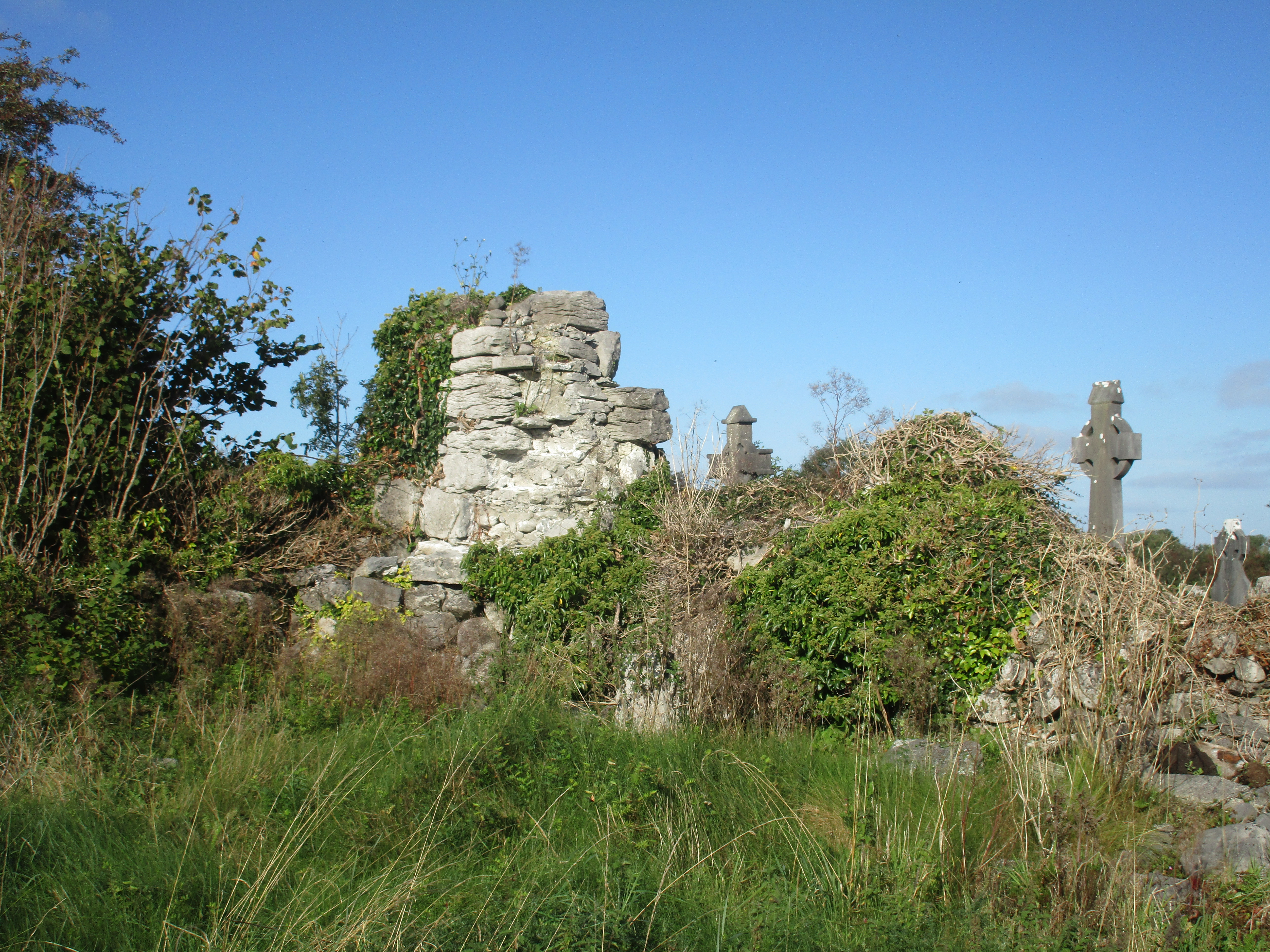 Church (in Ruins)Church · 17 yd
 IndicatedFairy fort / stone ringfort · 641 yd
 Enclosure in BallaghaglashEnclosure · 862 yd
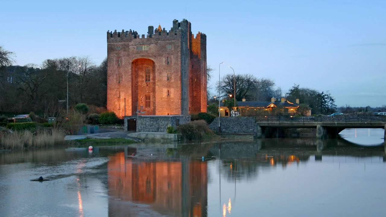 Castle (in ruins)Castle, tower house · 1.0 mi
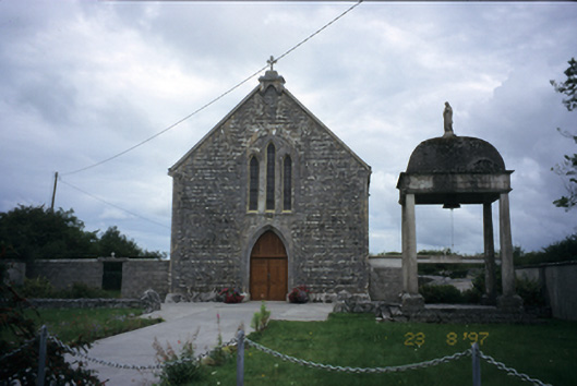 All Saints' Catholic Churchchurch/chapel · 1.1 mi
 Cloondooan Castle (in ruins)Castle, tower house · 1.4 mi
 Burren National ParkNature reserve · 2.2 mi
 Kilnaloone GraveyardArchaeological place · 2.6 mi
 Slieve RoeMountain / peak · 2.7 mi
 Kilmacduagh MonasteryHeritage attraction · 2.7 mi
 Kilmacduagh Monastic SiteVisitor information · 2.7 mi
 Mullagh MoreMountain / peak · 3.2 mi