What is recorded here
Situated on a gentle NE-facing slope with a small NW-SE stream c. 140m to the NE. The site of a possible Catholic church (WX027-021001-) is in a small graveyard (dims. c. 20m NE-SW; c. 15m NW-SE) marked faintly on the 1839 ed. of the OS 6-inch map. There are no visible remains of a structure, enclosure or burial at ground level. Tobermogue well (WX027-020----) is c. 130m to the NW and Toberrevagh (WX027-022----) is immediately adjacent to the NE.
Compiled by: Michael Moore
Date of upload: 18 July, 2012
This remains an important historical record, but the official description says the monument is no longer visible or has been destroyed. The monument record does not grant public access. Check the route and ask the landowner before entering private land.
- What survives
- No visible remains or recorded as destroyed
Places near here
 Chapel (in ruins)Church · 1 yd
 TobermogueHoly well · 140 yd
 IndicatedFairy fort / ringfort · 668 yd
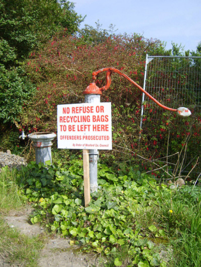 water pumpwater pump · 1632 yd
 Ballingowan MoteCastle, motte · 1.3 mi
 Tinnaberna BeachBeach / strand · 1.7 mi
 Hachured moundCastle, motte · 2.1 mi
 1798 Insurrection MemorialMemorial · 2.6 mi
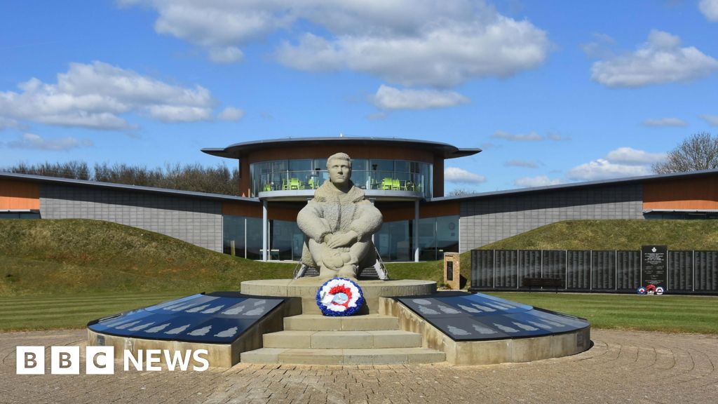 Memorial to The PomonaMemorial · 2.7 mi
 Blackwater Coastal Erosion Monitoring PointViewpoint · 3.3 mi
 Birds of PreyVisitor information · 3.4 mi
 71Mountain / peak · 3.6 mi