What is recorded here
Marked on the 1840 and the 1923 eds. of the OS 6-inch map as the site of a church and graveyard, and situated in pasture towards the top of a N-facing slope. Dedicated to 'Seacht Mhic Rí', the seven sons of the king (O'Flanagan 1929, 52), it is not visible at ground level.
O'Flanagan, M. (Compiler) (1929) Letters containing information relative to the antiquities of the county of Waterford collected during the progress of the Ordnance Survey in 1841. Typescript. Bray.
Compiled by: Michael Moore. Date of upload: 26th August, 2010.
The monument record does not grant public access. Check the route and ask the landowner before entering private land.
- What survives
- Recorded monument
Places near here
 Site of ChurchChurch · 1 yd
 Deodar CedarDeodar Cedar · 847 yd
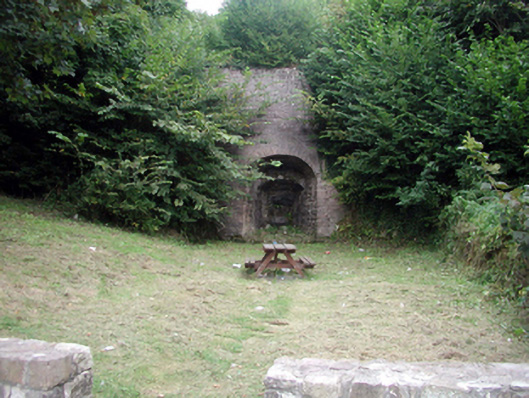 kilnkiln · 924 yd
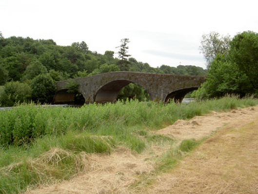 Knocklofty Bridgebridge · 984 yd
 Enclosure in KilmanahanEnclosure · 1034 yd
 Hybrid Black PoplarHybrid Black Poplar · 1153 yd
 Castle, Kilmanahan CastleCastle, tower house · 1501 yd
 CastleCastle, ringwork · 1.3 mi
 Crusader's GraveHeritage attraction · 1.6 mi
 Kilmacomma HillMountain / peak · 1.6 mi
 European long distance path E8 - part IrelandWalking route · 2.8 mi
 Grubb's IslandIslet · 3.2 mi