What is recorded here
Situated on a gentle S-facing slope. The parish church of Rossmire or Kilcool (WA015-040001-) (Power 1897, 72) had been removed by 1841 (O'Flanagan 1929, 24). There is a D-shaped, grass-covered area (dims. 40m E-W; c. 27m N-S) defined by a slight scarp E-S-W surviving S of the present rectangular graveyard (dims. c. 45m E-W; c. 40m N-S) (WA015-041002-), which is defined by a stone-faced earthen bank and contains a C of I church. St John's Well (WA015-041----), a natural spring, is c. 140m to the SE.
Compiled by: Michael Moore.
Date of upload/revision: 10th December 2010.
The monument record does not grant public access. Check the route and ask the landowner before entering private land.
- What survives
- Recorded monument
Places near here
 Saint John's Church (Rossmire)church/chapel · 16 yd
 Site of ChurchChurch · 36 yd
 St Johns WellHoly well · 176 yd
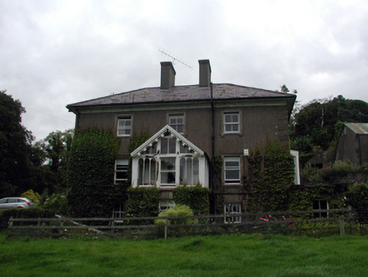 Rossmore Househouse · 479 yd
 Site of Cas.Castle, unclassified · 850 yd
 8 Arch GalleryGallery · 916 yd
 Castle (in ruins)Castle, unclassified · 1.7 mi
 Croughaun HillMountain / peak · 3.3 mi
 Crough WoodWood · 4.3 mi
 Kilclooney WoodForest · 4.4 mi
 St. Bernard's WellSpring · 4.7 mi
 Copper CoastCoastal geological landscape · 4.9 mi