What is recorded here
Located in a natural depression of lowlying ground, enclosed at N–SE by rising ground; to S and W is a flat expanse of damp pasture. Subrectangular area (c. 75 E–W; c. 55m N–S) enclosed by a mortared stone wall with an entrance gate at the N end of the E wall. The graveyard is on a slight S-facing incline and the level central area appears slightly raised and is defined by a scarp (H c. 0.8m) which extends E–W through the S half of the graveyard. There are a ruined medieval church (SL020-054001-) and a cross-slab (SL020-054005-) in the W half. The greatest density of graves is on the level central area and around and within the ruined church. The majority of the graves are marked by 19th and 20th century headstones, many at the head of rectangular plots enclosed by low concrete surrounds. There are a few table-tombs and chest-tombs. Low, uninscribed stone grave-markers are also evident, with the greatest concentration immediately to N of the church. There are yew trees growing in the centre of the graveyard, and beech trees, planted in the 19th-century, line the perimeter. Two breaks in the W wall lead into a later rectangular walled extension (c. 70m E–W; c. 45m N–S) which extends to W incorporating gently rising ground. A saint’s stone (SL020-054003-) and a holy well (SL020-054004-) are located c. 30m to N of the NE end of the graveyard.
Compiled by: Jane O'Shaughnessy
Date of upload: 23 July 2014
The monument record does not grant public access. Check the route and ask the landowner before entering private land.
- What survives
- Recorded monument
Places near here
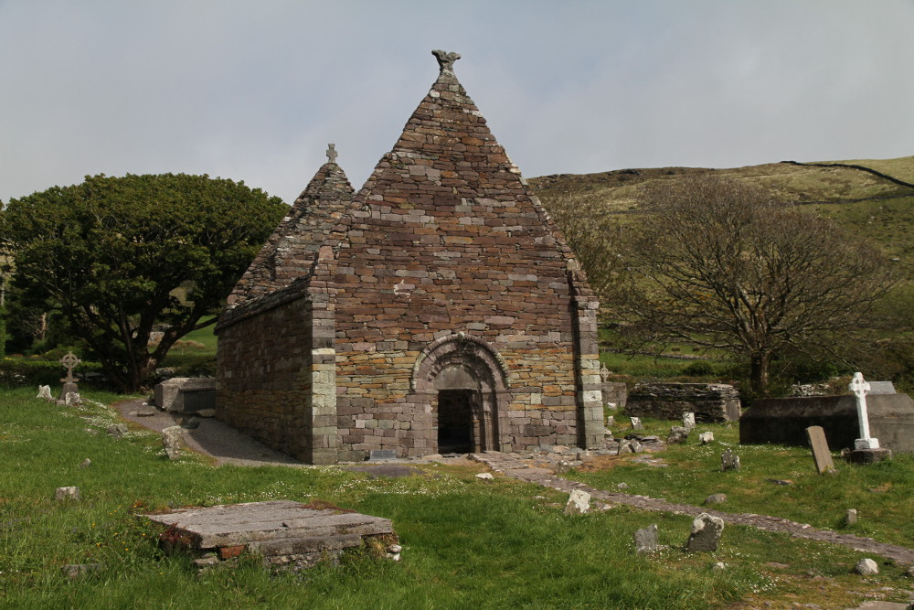 Kilmacowen Church (in Ruins)Church · 23 yd
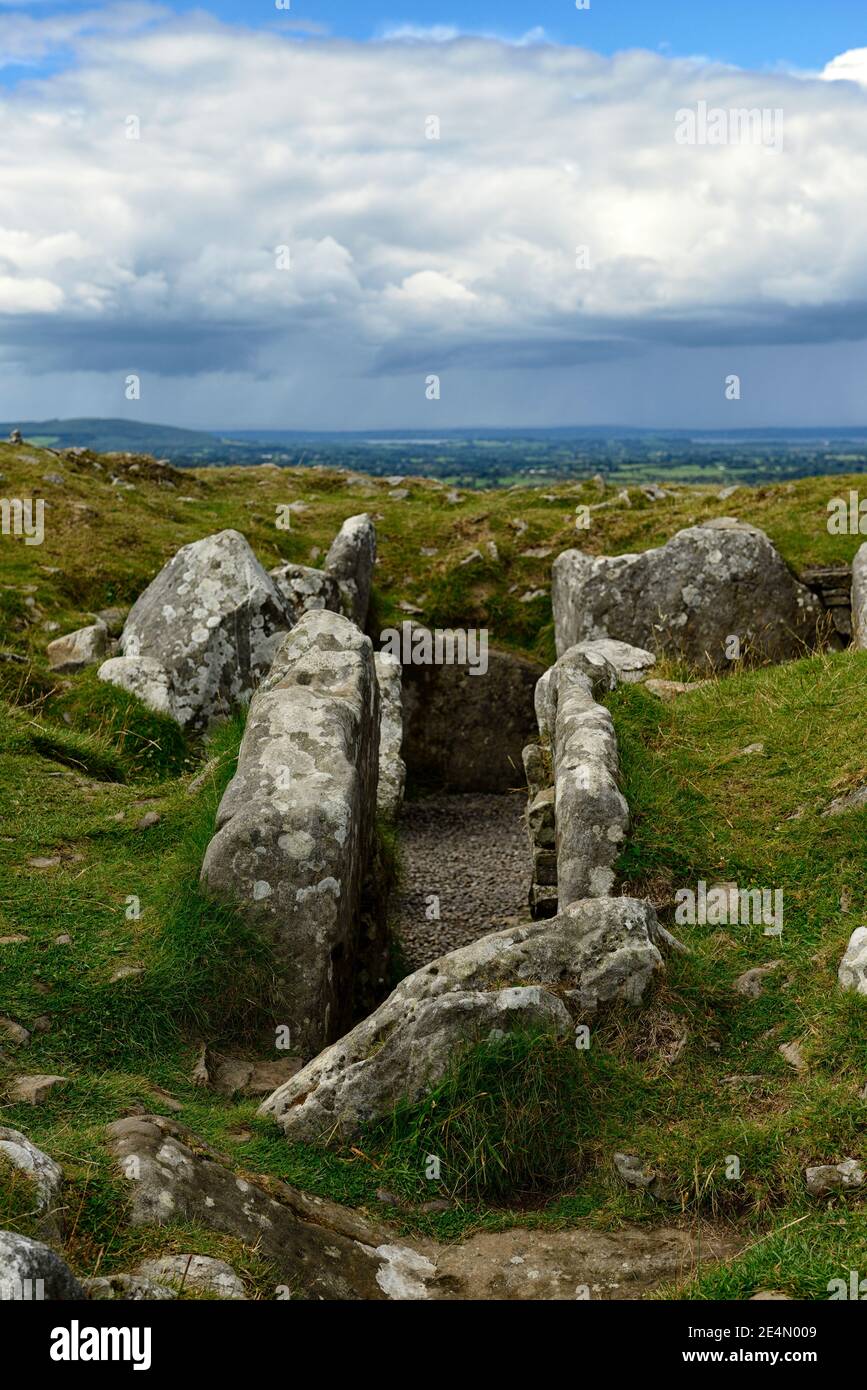 Ritual siteRitual site, holy/saint's stone · 81 yd
 Tober PatrickHoly well · 105 yd
 Kiln in BreeogeKiln · 959 yd
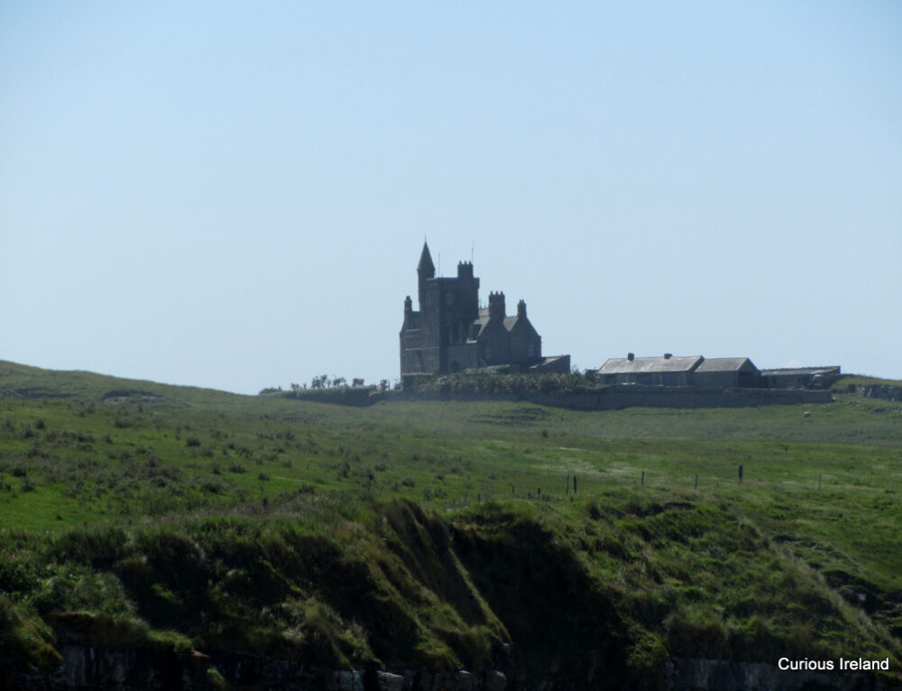 CastleCastle, unclassified · 1.0 mi
 Carrowmore Visitors CentreVisitor information · 1.3 mi
 Carrowmore Megalithic CemeteryHeritage attraction · 1.3 mi
 CarrigeenfaddaIslet · 1.5 mi
 Castle (in Ruins)Castle, unclassified · 2.0 mi
 The GlenWood · 2.2 mi
 Union RockMountain / peak · 2.3 mi
 RinnatalleenHeadland · 2.6 mi