What is recorded here
Situated on a N-facing slope with the W-E River Deel c. 35m to the N. The parish church of Killyon (ME041-006----) is within a subrectangular graveyard (dims c. 40m N-S; c. 35m E-W) that has only modern boundaries of wooden and wire fences. The graveyard has headstones dating from 1757 to 1977. The holy well (ME041-006002-) is c. 20m to the E.
Compiled by: Michael Moore
Date of upload: 20 March, 2015
The monument record does not grant public access. Check the route and ask the landowner before entering private land.
- What survives
- Recorded monument
Places near here
 IndicatedChurch · 11 yd
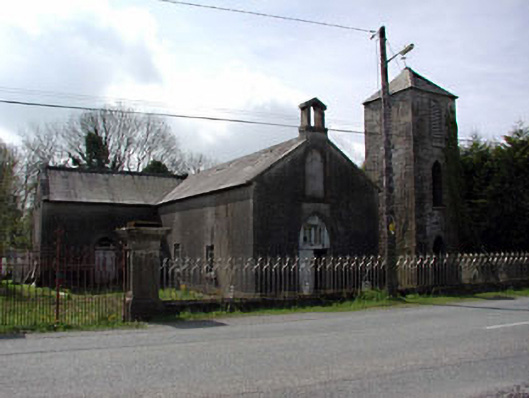 Saint Mary's Catholic Chapelchurch/chapel · 1043 yd
 Enclosure in Newtown or CloneenEnclosure · 1643 yd
 Donore CastleCastle · 1.3 mi
 CastleCastle, tower house · 1.3 mi
 European BeechEuropean Beech · 1.6 mi
 Common LimeCommon Lime · 1.7 mi
 EnclosureEnclosure, large enclosure · 2.1 mi
 Croppies' GraveMemorial · 3.6 mi
 Cloncurry GraveyardHeritage attraction · 8.8 mi
 Old Bog Road made famous by Teresa Bryton 1868-1943Memorial · 9.7 mi
 The Grill ShackHeritage attraction · 12 mi