What is recorded here
In open, level pasture. A roughly trapezoidal area (dims L c. 60m N-S; Wth c. 55m E-W) is enclosed by a stone wall which appears to follow the line of a possible ecclesiastical enclosure (KD013-019005-), and is entered through a gate at S. The interior contains a church (KD013-019002-) and is the site of a religious house of the Knight's Hospitallers (KD013-019001-). Burials are concentrated to the S and W of the church, with a few also to the N and E, and the graveyard is still in use.
Compiled by: Gearóid Conroy
Date of upload: 10 June 2011
A possible ecclesiastical enclosure, likely medieval in date; its significance lies in its potential association with early Christian settlement or burial activity in the region.
The monument record does not grant public access. Check the route and ask the landowner before entering private land.
- What survives
- Recorded monument
Places near here
 Church (in Ruins)Church · 12 yd
 Enclosure in Killybegs DemesneEnclosure · 305 yd
 IndicatedCastle, motte · 1238 yd
 Grand Canal WayWalking route · 1574 yd
 Landenstown Bridge and 17th Lockbridge · 1661 yd
 Kavanaghs MoatFairy fort / earthen ringfort · 1.1 mi
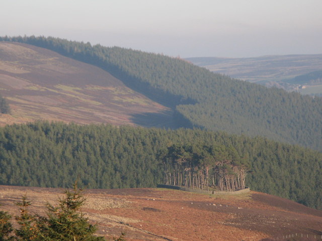 TumulusWood · 1.2 mi
 Museum of MotorsportMuseum · 1.4 mi
 ICAMemorial · 2.2 mi
 Celebrating CommunityMemorial · 2.2 mi
 Ballynafagh Bog Special Area of ConservationNature reserve · 2.3 mi
 Castle (in Ruins)Castle, unclassified · 2.5 mi