What is recorded here
Situated on a shelf on an E-facing slope overlooking the N-S River Slaney which is c. 250m to the E. The site of the parish church of Killurin (WX037-002001-) is within a rectangular graveyard (dims c. 50-70m N-S; c. 40m E-W) defined by an earthen bank with internal stone-facing on all sides except the N where there is a masonry wall. There is no evidence within of a structure older than the present Church of Ireland church that was built c. 1800 other than one eroded Dundry fragment (H 0.17m) of two attached columns. Archaeological testing (98E0422) just N of the graveyard produced no archaeological features (Wren 2000)
Compiled by: Michael Moore
Date of uplaod: 14 December, 2012
The monument record does not grant public access. Check the route and ask the landowner before entering private land.
- What survives
- Recorded monument
Places near here
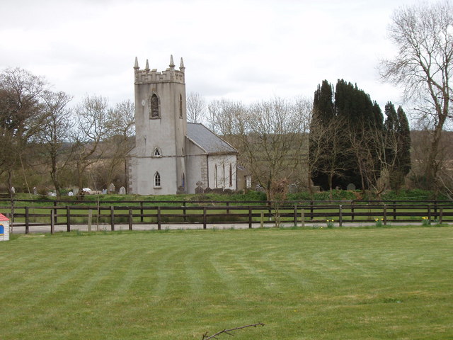 Killurin Churchchurch/chapel · 22 yd
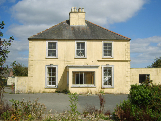 rectory/glebe/vicarage/curate's houserectory/glebe/vicarage/curate's house · 243 yd
 St. Laurences WellHoly well · 379 yd
 Site of CastleCastle, unclassified · 601 yd
 Celebrating 125 YearsMemorial · 928 yd
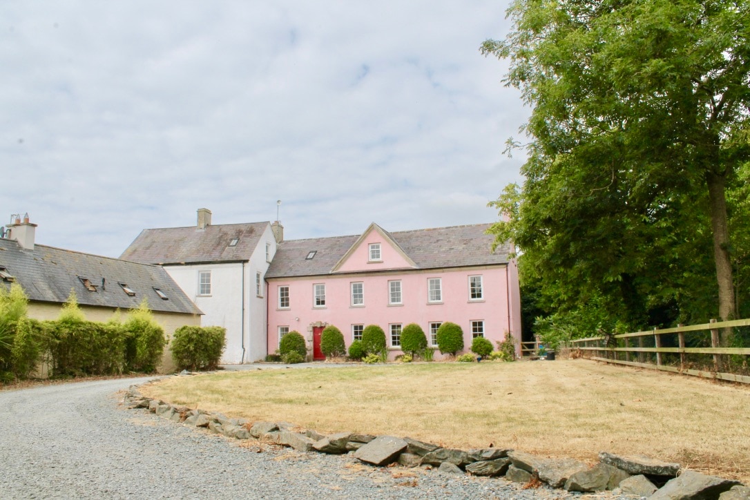 CastleCastle, tower house · 1414 yd
 site of Killell ChurchChurch · 1654 yd
 Battle Of The Three RocksMemorial · 3.6 mi
 Carrickshinna RockMountain / peak · 4.2 mi
 Ravens RocksMountain / peak · 4.2 mi
 Dawn RedwoodDawn Redwood · 4.5 mi
 16th Irish DivisionMemorial · 5.3 mi