What is recorded here
Situated at the bottom of an E-facing slope. The parish church of Killinvoy (RO042-097001-) is within a wedge-shaped graveyard (dims 48m E-W; 36m N-S at E; 56m N-S at W) defined by masonry walls. It contains A graveslab (RO042-097003-) of Thomas Hinde and Ann Davell with the date 1685, and two headstones (RO042-097005-; RO042-097006-) to Loughlin Keogh and Cormack Egan with the dates 1684 and 1699 respectively.
Compiled by: Michael Moore
Date of upload: 24 August 2010
Wedge tomb; dates to the Late Neolithic or Early Bronze Age. The site is part of a broader tradition of megalithic funerary monuments in Ireland, reflecting early communal burial practices.
The monument record does not grant public access. Check the route and ask the landowner before entering private land.
- What survives
- Recorded monument
Places near here
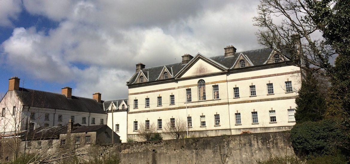 IndicatedCastle, unclassified · 723 yd
 Embanked enclosureFairy fort / earthen ringfort · 942 yd
 Scregg Housecountry house · 1.1 mi
 CastleCastle, tower house · 1.1 mi
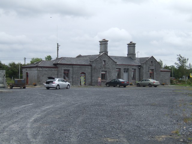 Knockcroghery Railway Stationrailway station · 1.2 mi
 Not inidcatedFairy fort / earthen ringfort · 1.3 mi
 Hangman's HillMountain / peak · 1.8 mi
 Galey BayBay · 1.8 mi
 Blackbrink BayBay · 2.1 mi
 Dogs IslandIslet · 2.8 mi
 InchmoreIslet · 2.8 mi
 St. John's WoodWood · 2.9 mi