What is recorded here
Located on a slight rise in a low-lying level landscape c. 400m from the W shore of the South Slob of Wexford harbour and at the S edge of a farm complex. The parish church of Killiane (WX043-004001-) is within a subcircular enclosure (int. diam. 34.75m E-W; 32.35m N-S) that is grass-covered with mature deciduous trees. The perimeter is defined by a low earthen bank (Wth 1.3-2.1m; H 0.2-.6m) E-S-NW, and farm buildings elsewhere. There is no evidence of burial, apart from one headstone dated 1806 in the church. There is a bullaun stone (WX043-004003-) in the nave of the church.
Compiled by: Michael Moore
Date of upload: 31 May, 2013
The monument record does not grant public access. Check the route and ask the landowner before entering private land.
- What survives
- Recorded monument
Places near here
 Church (in ruins)Church · 1 yd
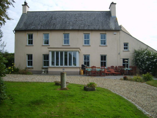 Ballykelly Housefarm house · 871 yd
 St. Helens WellHoly well · 1412 yd
 Windmill in Ballykilliane,sheepwalkWindmill · 1.1 mi
 CastleCastle, unclassified · 1.3 mi
 Ballyrane Castle (in ruins)Castle, tower house · 2.2 mi
 BirdlifeVisitor information · 2.2 mi
 James Stevens Lifeboat MemorialMemorial · 2.2 mi
 Johnstown Castle Visitor CentreHeritage attraction · 2.7 mi
 Irish Agricultural MuseumMuseum · 2.7 mi
 American SweetgumAmerican Sweetgum · 2.8 mi
 Japanese cedarJapanese cedar · 2.8 mi