What is recorded here
Situated at the N end of a SE-NW spur with the S-N Killary Water stream in its valley c. 60m to the SW. The site of an early church and the parish church of Killary (ME012-020----) is within a rectangular graveyard (dims c. 67m ENE-WSW; c. 45m NNW-SSE) defined by earthen banks. According to Dopping’s and the Royal Visitations (1682-5; 1697) the church was in ruins since 1641, although it was fenced (Ellison 1973, 6).
Compiled by: Michael Moore
Date of upload: 22 May, 2014
Amended: 7 August, 2014
A local ancient tomb; wider significance not recorded.
The monument record does not grant public access. Check the route and ask the landowner before entering private land.
- What survives
- Recorded monument
Places near here
 Stone CrossCross, High cross · 30 yd
 Socket of Stone CrossCross, High cross · 43 yd
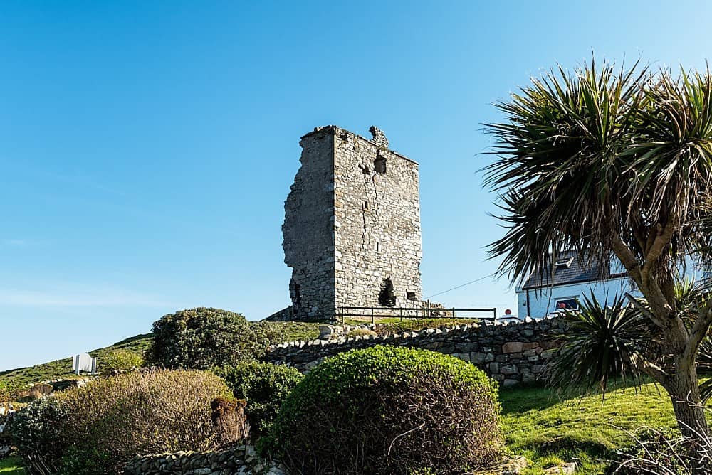 CastleCastle, unclassified · 1484 yd
 Stokestown CastleCastle, unclassified · 1720 yd
 bridgebridge · 1.3 mi
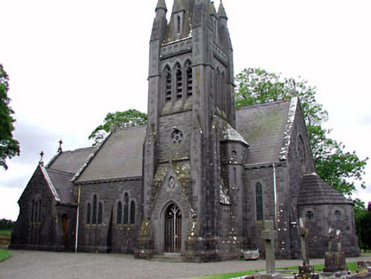 Saint David's Church (Siddan)church/chapel · 1.4 mi
 Gun HillMountain / peak · 1.8 mi
 European YewEuropean Yew · 2.0 mi
 Ugly HillMountain / peak · 2.6 mi
 Fox CovertForest · 2.7 mi
 Nobber GreenwayMemorial · 4.0 mi
 Pat's Art StudioGallery · 7.5 mi