What is recorded here
Associated with 'St. Annin's Church' (GA068-024----). On inspection in July 1983, numerous grave-markers and graves dating to the 18th and 19th centuries were visible within this large roughly rectangular graveyard (c. 87m NNW-SSE; c. 60m ENE-WSW). On re-inspection in March 2020, it was found that a graveyard clean-up had removed most of the vegetation within it.
The following images has been uploaded:
GA068-024001-_01.jpg View of graveyard from W with St Annin's Church to left and Martin Mortuary Chapel to right.
GA068-024001-_04.jpg View from NW
Compiled by: Olive Alcock
Date of upload: 10 July 2023
The monument record does not grant public access. Check the route and ask the landowner before entering private land.
- What survives
- Recorded monument
Places near here
 St Annins Church (in ruins)Church · 21 yd
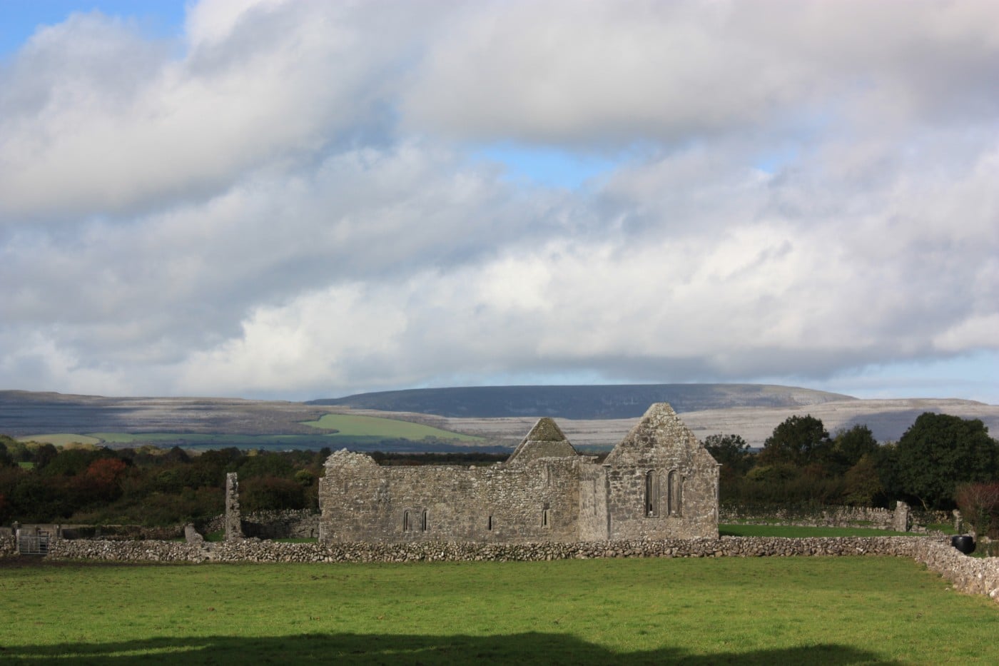 TemplebeganeeveChurch · 406 yd
 Brigit's GardenHeritage attraction · 555 yd
 Annagh WoodWood · 561 yd
 IndicatedFairy fort / stone ringfort · 686 yd
 St. Annin s Holy WellHoly well · 703 yd
 Oghery Castle in ruinsCastle, unclassified · 1325 yd
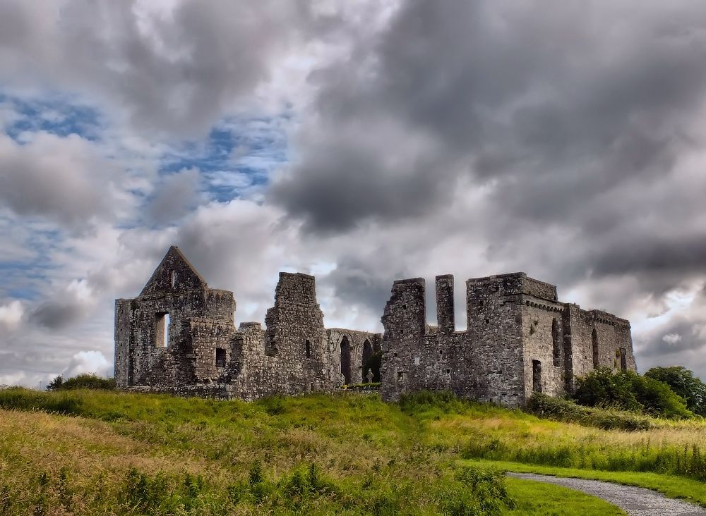 Cnoc an Bhaile NuaMountain / peak · 2.4 mi
 Potatoe IslandsIslet · 2.6 mi
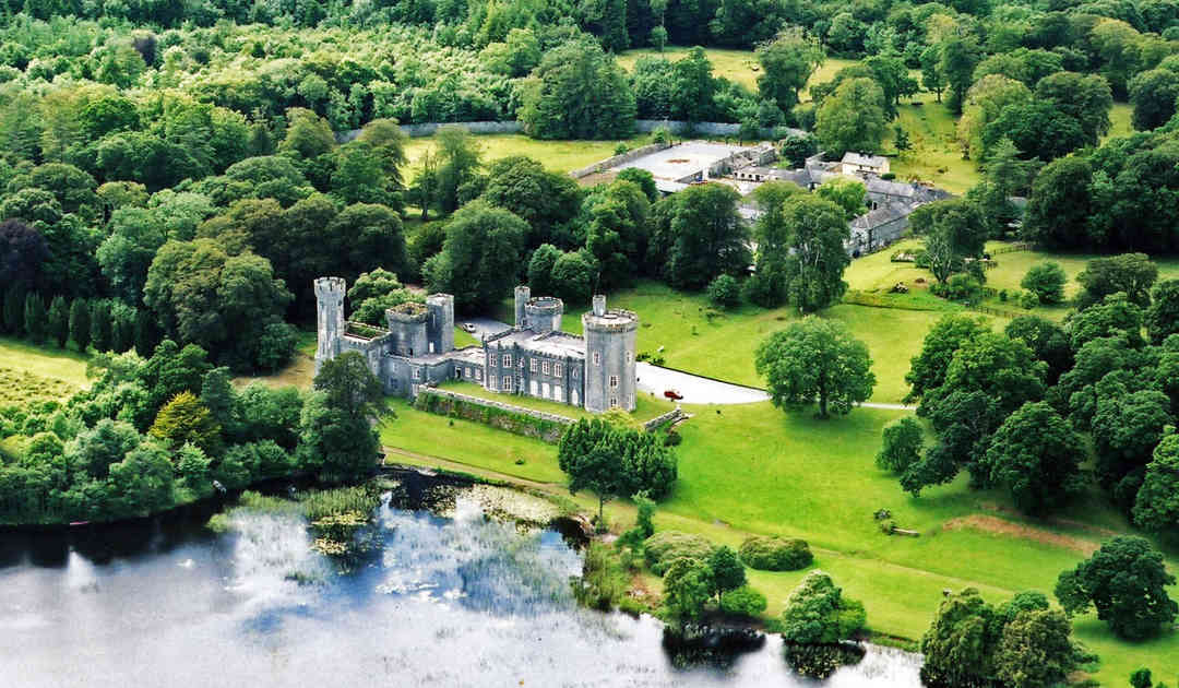 Two Sisters Castles (in ruins)Castle, tower house · 3.0 mi
 Illaunfadda MoreIslet · 3.1 mi
 Connemara MarbleHeritage attraction · 3.3 mi