What is recorded here
In pastureland on the N shore of Lough Nakilla. This roughly oval-shaped graveyard (c. 45m E-W; c. 20-30m N-S), now disused, is bounded along its E half by a drystone wall. The original entrance is at SSW. On inspection, the interior was heavily overgrown. Where visible, burials were marked by simple headstones aligned E-W. A medieval church (GA035-048001-) occupies the NW quadrant. A possible leacht (GA035-048004-) is also associated and a holy well (GA035-048003-) lies c. 15m to the SW. A modern rectangular graveyard adjoins the site to the W.
Compiled by: Olive Alcock
Date of upload: 17 April 2023
The monument record does not grant public access. Check the route and ask the landowner before entering private land.
- What survives
- Recorded monument
Places near here
 Kilflannann Ch. (in ruins)Church · 15 yd
 Ritual siteRitual site, holy/saint's stone · 150 yd
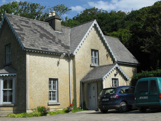 Errislannan Manorhunting/fishing lodge · 191 yd
 Field boundary in Atlantic OceanField boundary · 1723 yd
 Abbeyglen Castle HotelCastle · 1.7 mi
 Sky RoadViewpoint · 1.8 mi
 Alcock and Brown Atlantic CrossingMemorial · 1.8 mi
 Mannin BayBay · 1.9 mi
 Boolard IslandIslet · 2.0 mi
 Lavelle Art GalleryGallery · 2.1 mi
 Mannin Bay Coral StrandBeach / strand · 2.5 mi
 Bawn in Doon (ballynahinch By.)Bawn · 2.6 mi