
What is recorded here
Located at the junction of Ardbear Bay and Clifden Bay, just off the NE end of a small islet named ‘Islandagar’ on the OS 6-inch maps. Fragmentary traces of this curving stone wall (L c. 30m) were found by Michael Gibbons, archaeologist, and Shane Joyce, Clifden. It curves from the islet to nearby rock outcrop to the E. The wall, and a structure (GA035-079001-) noted c. 90m to its SW, may be associated with a drowned prehistoric landscape (pers. comm. M. Gibbons 14 July 2020). Both structures are only visible at low spring tide.
Compiled by: Olive Alcock
Date of upload: 9 October 2020
The monument record does not grant public access. Check the route and ask the landowner before entering private land.
- What survives
- Recorded monument
Places near here
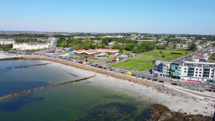 Structure in Atlantic OceanStructure · 99 yd
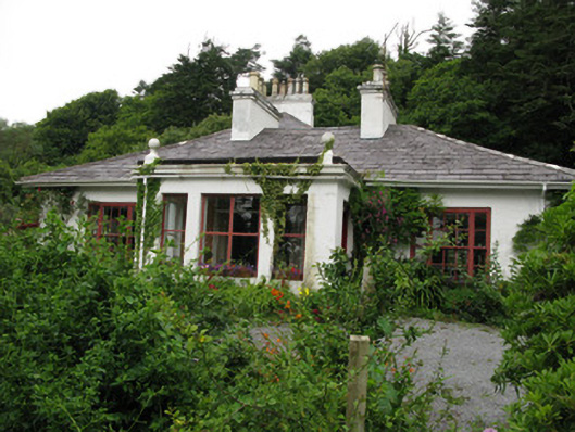 Gleann Aoibheannhouse · 513 yd
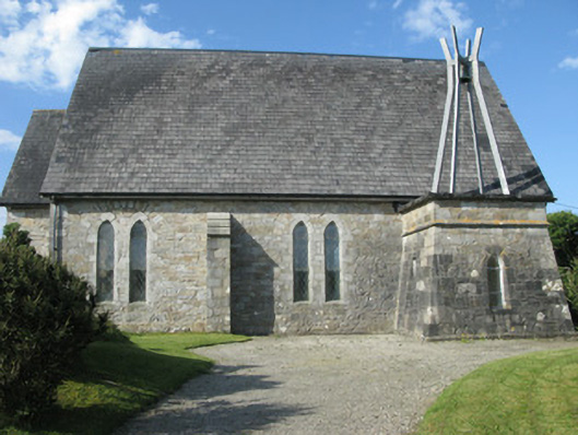 Holy Trinity Church (Ballindoon)church/chapel · 1138 yd
 Abbeyglen Castle HotelCastle · 1342 yd
 Ritual siteRitual site, holy/saint's stone · 1573 yd
 Lavelle Art GalleryGallery · 1.2 mi
 Alcock and Brown Atlantic CrossingMemorial · 1.2 mi
 Station House MuseumMuseum · 1.3 mi
 Boolard IslandIslet · 2.1 mi
 Mannin BayBay · 2.4 mi
 Mannin Bay Coral StrandBeach / strand · 2.7 mi
 Bawn in Doon (ballynahinch By.)Bawn · 2.9 mi
Other information
Photo: Credit not shown in the picture search · Rights wording not checked; contact us if this picture should be removed