What is recorded here
Situated at the crest of an E-facing slope with a N-S stream c. 200m to the E. The parish church of Kilgarvan (WX036-032001-) is within a circular graveyard (diam. c. 60m), but the perimeter, a field bank (at N: Wth 2m; H 1m) and hedge, has been removed NE-SW. The medieval grave cover (WX036-032003-) is used as a grave-marker in the graveyard. The site of St Garvan's Well (WX036-033----) is c. 250m to the E. Archaeological testing (20E0632) c. 15m W of the graveyard wall at the closest point produced no related material (Purcell 2020).
Compiled by: Michael Moore
Date of upload: 8 November, 2012
Amended: 9 November 2022
This remains an important historical record, but the official description says the monument is no longer visible or has been destroyed. The monument record does not grant public access. Check the route and ask the landowner before entering private land.
- What survives
- No visible remains or recorded as destroyed
Places near here
 graveyard/cemeterygraveyard/cemetery · 11 yd
 St. Garvans WellHoly well · 293 yd
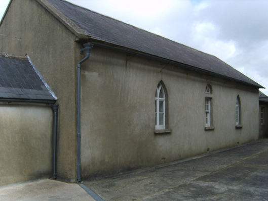 Saint Garvan's Catholic Churchschool · 749 yd
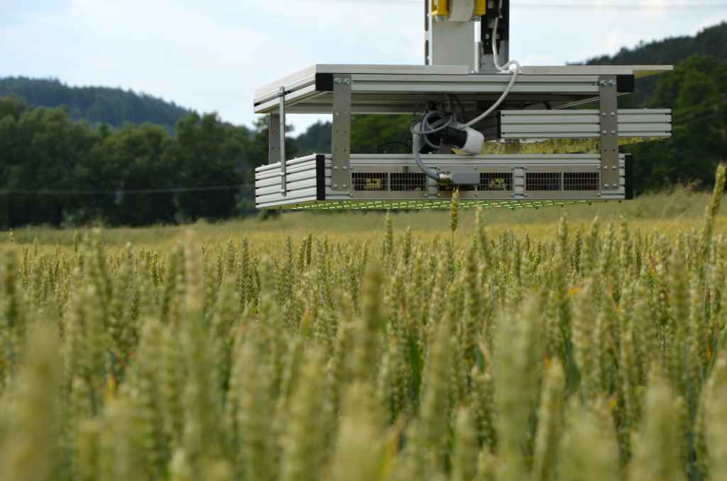 Field system in CamarossField system · 970 yd
 Bawn in Tracystown WestBawn · 1.9 mi
 Camaross HillMountain / peak · 2.3 mi
 Taghmon CastleCastle · 2.5 mi
 Glenour MonumentMemorial · 3.1 mi
 Carrickbyrne HillMountain / peak · 3.9 mi
 Coolcliffe HouseRuins · 4.0 mi
 Carrig-On-BannowVisitor information · 7.8 mi
 1798 MemorialMemorial · 7.8 mi