What is recorded here
Kilboght Convent claims the east half of a trapezoidal graveyard where mature trees bend above ivy-strangled stones. The Burke family vault, marked 1814, still stands southwest of the church while a second flooded chamber hides its dead beneath water. Cut church fragments were reused as grave markers, suggesting people believed better to give sacred stone to the departed than waste it.
This graveyard (55m E-W; 50m N-S), roughly trapezoidal shaped in plan, is associated with 'Kilboght Convent' (GA098-111----) which occupies its E half. It is enclosed by a stone wall and access is at the NW corner. A number of mature trees are growing within it. Most of the headstones date to the 19th century. Two large burial vaults are visible, one to the SW of the church, is dedicated to the Burke family and is dated 1814; the second one was flooded and inaccessible at the time of inspection. Most of the graveslabs are overgrown or are covered with ivy. Some cut-stone fragments from the church have been reused as grave-markers. Two medieval graveslabs (GA098-111003- and GA098-111004-) are visible in the nave of the church.
Compiled by: Olive Alcock
Date of upload: 19 February 2020
The monument record does not grant public access. Check the route and ask the landowner before entering private land.
- What survives
- Recorded monument
Places near here
 Kilboght Convent (in ruins)Religious house, Franciscan Third Order Regular · 10 yd
 Drought Castle (in Ruins)Castle, tower house · 929 yd
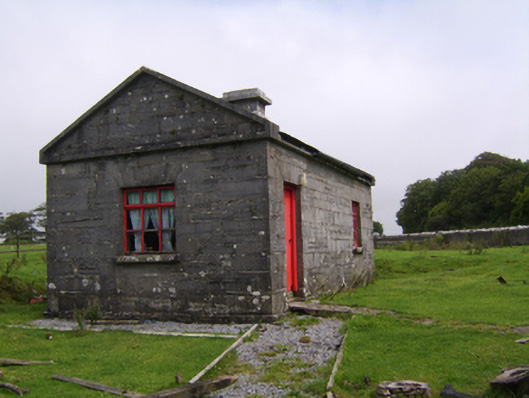 Dartfieldgate lodge · 1359 yd
 Dartfield Horse MuseumHeritage attraction · 1374 yd
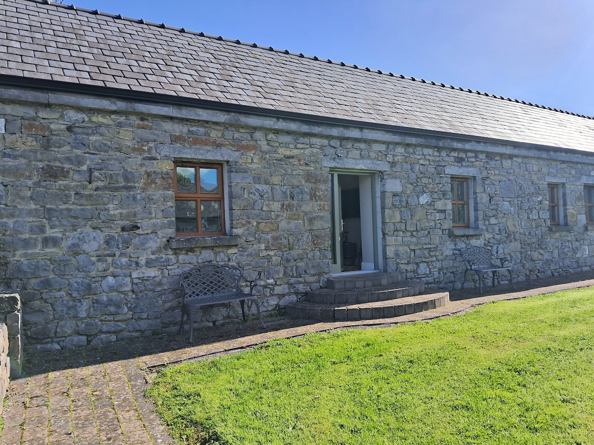 CaveMan-made underground passage · 1632 yd
 Enclosure in Ballybroder (bullaun Ed)Enclosure · 1698 yd
 Kilcooly Castle (in ruins)Castle, tower house · 2.4 mi
 Turoe StoneHeritage attraction · 3.3 mi
 Bush IslandIslet · 3.6 mi
 Middle IslandIslet · 3.7 mi
 Long PointHeadland · 3.9 mi
 Quarryhill WoodWood · 8.0 mi