What is recorded here
In level mixed tillage and pasture on the N edge of a farmyard some 700m E of the S-flowing River Barrow. A ruined Religious House (KD030-005----), possibly belonging to the Knights Hospitallers, stands c. 40m to the SW and a ruined gatehouse (KD030-007001-) and possible bawn (KD030-007002-) stand c. 60m to the SSE. A well-maintained oval area (c. 45m N-S; c. 36m E-W) is enclosed by a mortared stone wall. A ruined church (KD030-006----) occupies almost the full width of the graveyard just N of centre. Burials are concentrated to the S of the church and legible gravemarkers date from the 19th-century.
Compiled by: Gearóid Conroy
Date of upload: 30 September 2013
A medieval graveyard associated with a ruined religious house, likely 12th to 14th century; significant as a potential Hospitaller site linked to monastic and funerary practices in the region.
The monument record does not grant public access. Check the route and ask the landowner before entering private land.
- What survives
- Recorded monument
Places near here
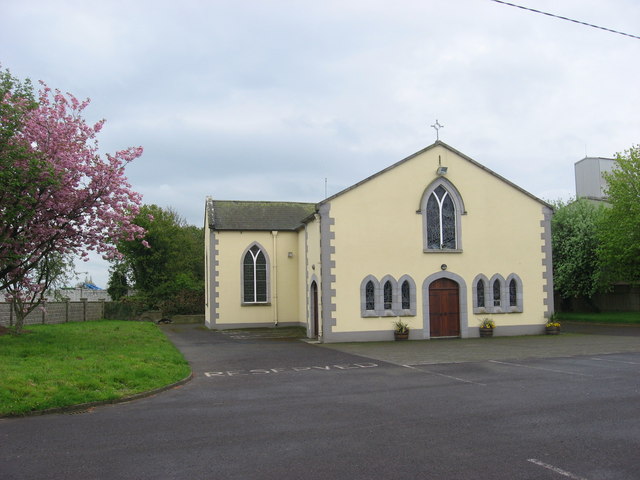 St. Bairys Church (in Ruins)Church · 5 yd
 IndicatedBawn · 79 yd
 Kilberry Churchchurch/chapel · 699 yd
 Reban CastleCastle, Anglo-Norman masonry castle · 910 yd
 Enclosure in Castlereban NorthEnclosure · 1.0 mi
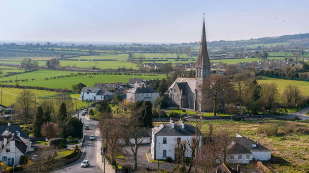 Enclosure in Castlereban SouthEnclosure · 1.2 mi
 Derryvullagh IslandForest · 2.3 mi
 Brackney WoodForest · 3.1 mi
 1798 memorialMemorial · 3.4 mi
 Ernest ShackletonMemorial · 3.5 mi
 Town HallMuseum · 3.5 mi
 Cobbler's Castle WalkWalking route · 4.5 mi