What is recorded here
Grave Yard in County Galway marks a children's burial ground where small undressed flagstones face east in narrow rows beside a possible church. Local information says the place remained in use until the 1960s, suggesting neighbouring families kept returning to lay infants and young children beneath open ground rather than formal tombstones. The stones are modest, barely thirty centimetres high, yet their repeated alignment implies a familiar ritual: carry a small body south or west of the church, set a flat stone at the head, and leave the row complete.
In the NE quadrant of a possible ecclesiastical enclosure (GA041-037001-). Burials are evident in an unenclosed area (L c. 25m NE-SW; Wth c. 8m at NE end and c. 16m at SW end) immediately to the S and W of a possible church (GA041-037002-). They are defined by small undressed roughly rectangular thin flagstones (H 0.2-0.3m; max. H 0.4m) facing E and aligned in N-S running rows c. 1m apart. According to local information, it was in use up to the 1960s (SMR file, 1984). (Gosling 1993, 177)
Compiled by: Olive Alcock
Date of upload: 19 November 2014
Early Christian graveyard, likely 6th to 9th century AD, associated with a monastic or ecclesiastical site. Its location suggests a religious and communal significance within a broader early Christian landscape in the region.
The monument record does not grant public access. Check the route and ask the landowner before entering private land.
- What survives
- Recorded monument
Places near here
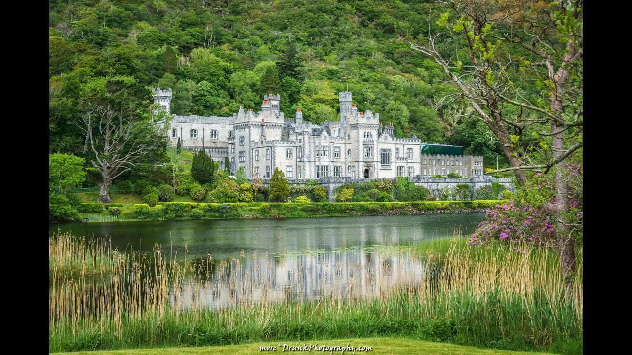 Abbey (in ruins)Church · 12 yd
 TobernagleedahHoly well · 188 yd
 Inis Mhic an TrírIsland · 193 yd
 Red Island RockIslet · 1378 yd
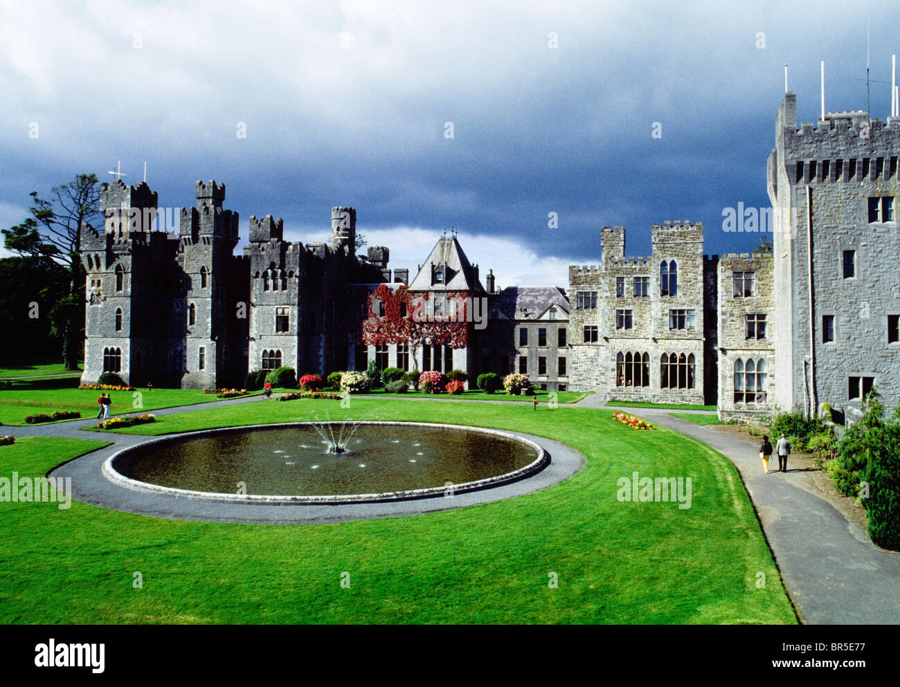 IndicatedEnclosure · 1589 yd
 Site of CastleCastle, unclassified · 1.3 mi
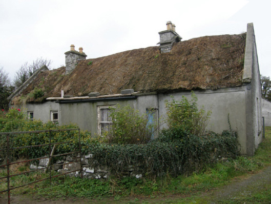 farm housefarm house · 1.7 mi
 Ballycurrin CastleCastle · 1.7 mi
 Japanese cedarJapanese cedar · 2.9 mi
 Ard na GaoitheHeritage attraction · 2.9 mi
 School of FalconryHeritage attraction · 2.9 mi
 Silver FirSilver Fir · 3.0 mi