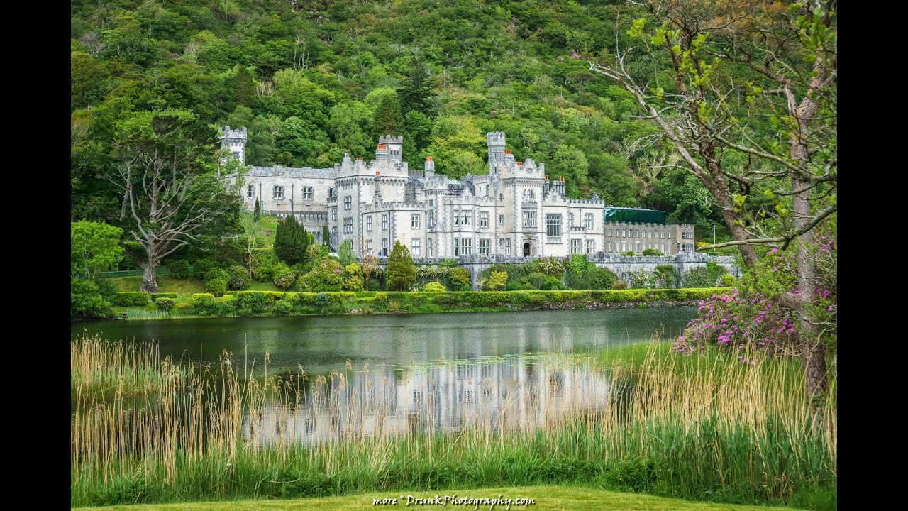
What is recorded here
In the NE quadrant of a possible ecclesiastical enclosure (GA041-037001-), in improved pastureland sloping to the N and overlooking Lough Corrib. Named ‘Abbey (in Ruins)’ on the OS 6-inch maps, it consists of the remains of a possible church (6.7m E-W; 3.1m N-S), the E wall of which is incorporated into a later N-S running field wall. The N wall of the building is the best preserved wall. At its E end it comprises an upstanding section of walling (L 4.5m; H 1.9m; Wth 0.7m), the top of which is overgrown with ivy. It is constructed of regularly coursed rectangular blocks and consists of an inner and outer wall-face with a narrow core (Wth 0.12m). A plinth (Wth 0.2m) projects from the external face at its E end. No architectural features or dressed stone is visible. To the W of this section, the wall has collapsed but one course of it survives (L 2.2m). Collapsed rubble (L 3.1m) extends this to the W. Only the return (L 0.6m) of the E wall (int. L 3.1m) and its foundation course (av. H 0.2m) are clearly visible as this wall has been rebuilt and is incorporated into the later field wall. The line of the S (Wth 0.6m) and W (Wth 0.55m) walls are indicated by inner and outer grassed-over facing-stones. A collapsed section of the W wall is visible on the ground surface to the W of its line. Though partially grass covered, its regular coursing is clearly evident. The interior of the building is strewn with rubble, and nettles are growing against the N wall. Due to the lack of diagnostic features it is difficult to classify and date this building. It may be the remains of a church or ecclesiastical building associated with an early monastic site. An associated building, named ‘Tower in Ruins’ (GA041-037005-) on the OS maps, is visible in the field immediately to the E. (Gosling 1993, 98; Gwynn and Hadcock 1970, 387)
GA041-037002-_01.JPG Overall view of possible church from S
GA041-037002-_02.JPG Upstanding section of N wall from S
GA041-037002-_03.JPG Section of collapsed W wall from W
Compiled by: Olive Alcock
Date of upload: 19 November 2014
The monument record does not grant public access. Check the route and ask the landowner before entering private land.
- What survives
- Recorded monument
Places near here
 TobernagleedahHoly well · 179 yd
 Inis Mhic an TrírIsland · 197 yd
 Red Island RockIslet · 1367 yd
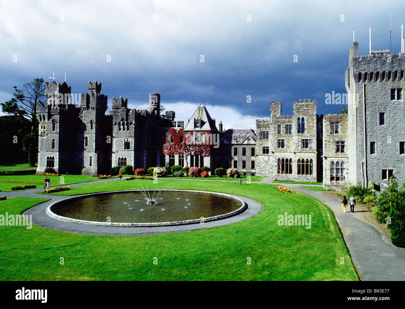 IndicatedEnclosure · 1579 yd
 Site of CastleCastle, unclassified · 1.3 mi
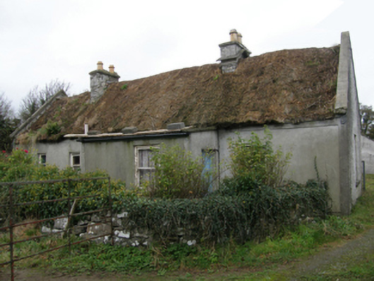 farm housefarm house · 1.7 mi
 Ballycurrin CastleCastle · 1.7 mi
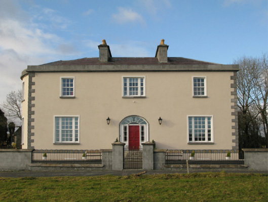 Ballycurrin Housecountry house · 1.7 mi
 Japanese cedarJapanese cedar · 2.9 mi
 Ard na GaoitheHeritage attraction · 2.9 mi
 School of FalconryHeritage attraction · 2.9 mi
 Silver FirSilver Fir · 3.0 mi
Other information
Photo: Credit not shown in the picture search · Rights wording not checked; contact us if this picture should be removed