What is recorded here
Grave Yard (in Ruins) marks a buried cluster in County Clare, though the exact boundary and date have faded from local memory. The name itself is a clue: a place set apart for death, likely used by a nearby household, parish or travelling community before roads and surveys redrew the land. The ruin label warns that what remains may be shallow, scattered or hidden beneath grass and stone. To walk past it is not indifference but recognition that some graves keep their shape only in the names people still speak.
The Archaeological Survey of Ireland (ASI) is in the process of providing information on all monuments on The Historic Environment Viewer (HEV). Currently the information for this record has not been uploaded. To access available information for research purposes please make an appointment in advance with the Archive Unit (open Fridays 10.00 am – 5.00 pm), Department of Housing, Local Government and Heritage, The Custom House, Dublin 1 D01W6XO or email NMarchive@housing.gov.ie.
The monument record does not grant public access. Check the route and ask the landowner before entering private land.
- What survives
- Recorded monument
Places near here
 Church (Disused)Church · 10 yd
 Cast Iron BridgeHeritage attraction · 306 yd
 Enclosure in O'brien's BridgeEnclosure · 399 yd
 Lisheen Grave YardBurial ground · 443 yd
 The CapstanHeritage attraction · 859 yd
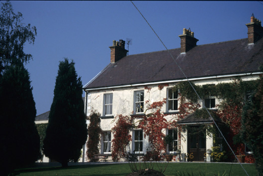 Old Stonebridge Househouse · 904 yd
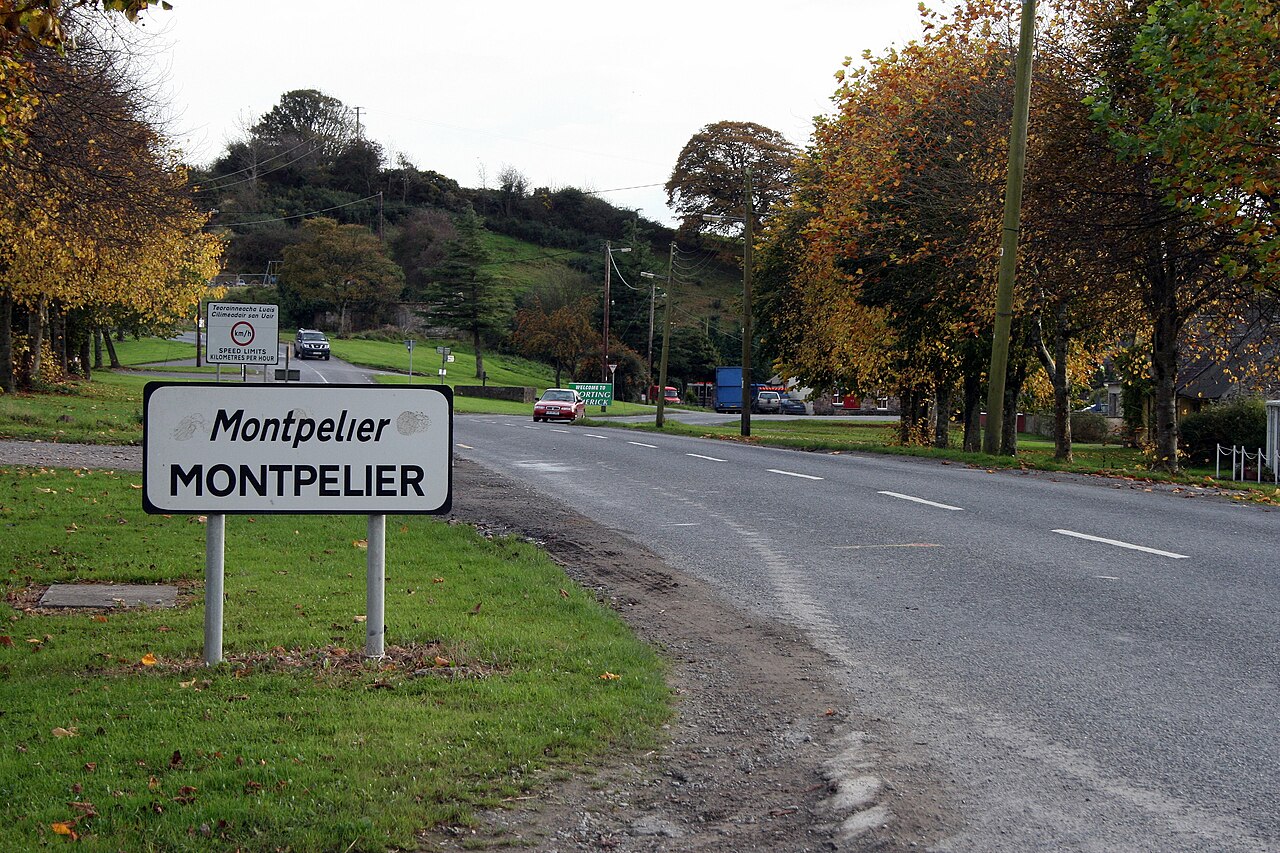 CastleCastle, unclassified · 923 yd
 The Pollagh TrailNature reserve · 2.0 mi
 Kilroughil Graveyard (Site of)Archaeological place · 2.3 mi
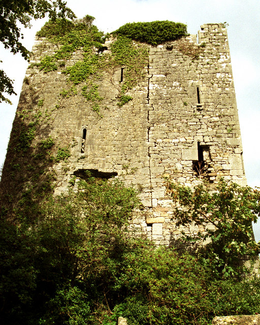 Coollisteige Castle (in Ruins)Castle, unclassified · 3.0 mi
 Brian Boru Heritage CentreVisitor information · 4.1 mi
 BallycuggaranForest · 4.7 mi