What is recorded here
Situated on a slight rise on a gentle E-facing slope with a small W-E stream immediately to the S. The site of the parish church of Horetown (WX041-001001-) is within a D-shaped graveyard (dims. 60m N-S; c. 40m E-W) defined by an earthen bank (Wth c. 2m; ext. H 1.8-2.2m) on all sides except the W where the mid-19th century Church of Ireland church stands. Archaeological monitoring (08E0798) of a sewer trench, W, S, and SE of the 19th century church failed to produce any archaeological material (Stafford 2011).
The monument record does not grant public access. Check the route and ask the landowner before entering private land.
- What survives
- Recorded monument
Places near here
 Church in Horetown SouthChurch · 21 yd
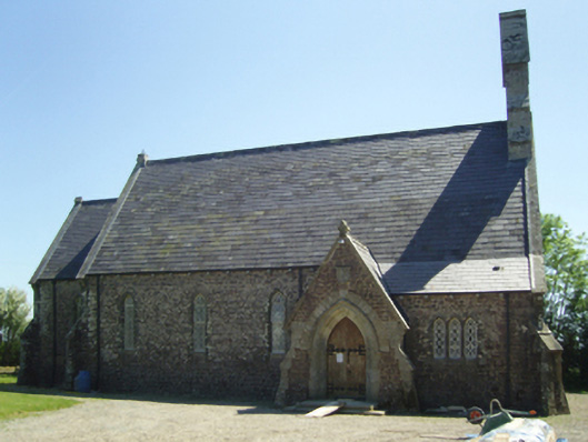 Saint James's Church (Horetown)church/chapel · 32 yd
 Castle (In Ruins)Ruins · 1388 yd
 Bawn in Tracystown WestBawn · 1391 yd
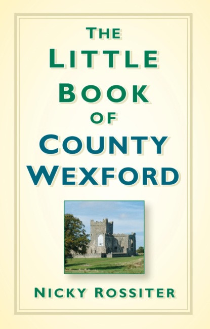 TobershivaunHoly well · 1.5 mi
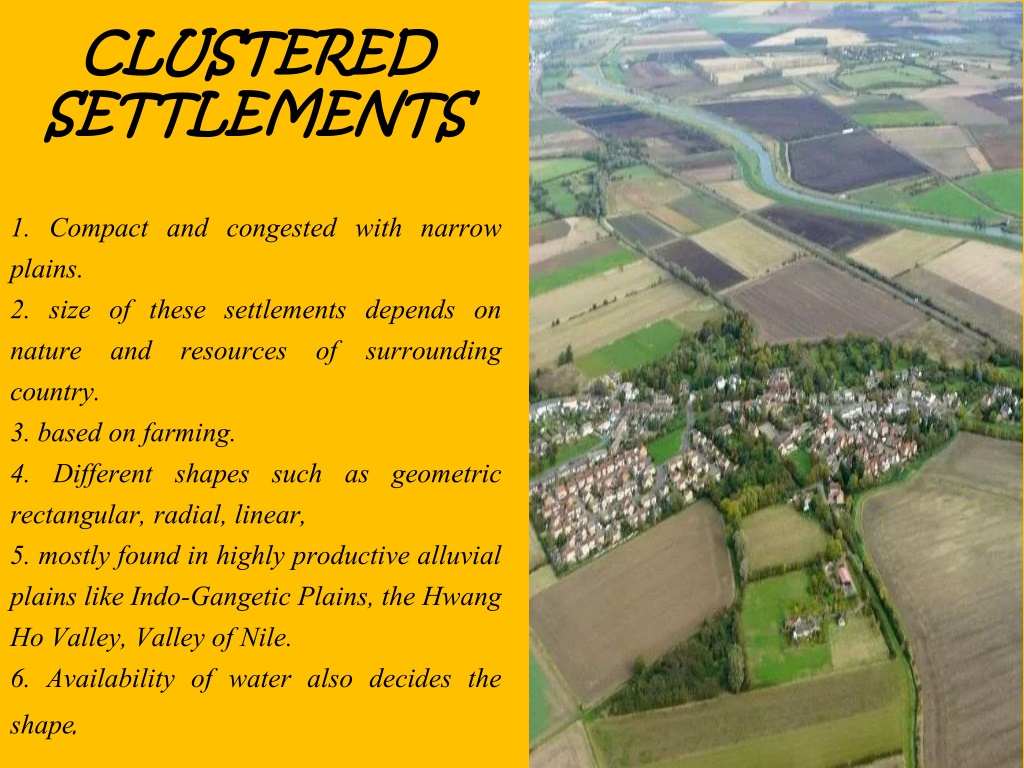 Settlement cluster in CoolcliffeSettlement cluster · 1.7 mi
 Coolcliffe HouseRuins · 2.0 mi
 Camaross HillMountain / peak · 4.1 mi
 Carrickbyrne HillMountain / peak · 4.3 mi
 Glenour MonumentMemorial · 4.7 mi
 Carrig-On-BannowVisitor information · 5.9 mi
 1798 MemorialMemorial · 5.9 mi