
What is recorded here
Situated on a slight rise of a gentle E-facing slope with a small W-E stream immediately S of the graveyard. According to a Visitation by Thomas Ram, the Protestant bishop of Ferns, in 1615 Richard Henrican was rector, Robert Dreighan the curate, and the church and chancel were in repair (Hore 1900-11, vol. 6, 271). The site of the parish church of Horetown is within a D-shaped graveyard (dims. 60m N-S; c. 40m E-W) defined by an earthen bank (Wth c. 2m; ext. H 1.8-2.2m) on all sides except the W where the mid-19th century Church of Ireland church stands. Lewis (1837, vol. 2, 9) records that the ruins of the Carmelite abbey (WX041-052----), which may have served as the medieval parish church, were used in building the original church here. There are no visible remains of an older foundation at ground level. Archaeological monitoring (08E0798) of a sewer trench, W, S, and SE of the 19th century church failed to produce any archaeological material (Stafford 2011).
See the attached section from the Down Survey (1656-8) parish map (N at top right) reproduced courtesy of the National Library of Ireland (Ms 725)
The above description is derived from the published 'Archaeological Inventory of County Wexford' (Dublin: Stationery Office, 1996). In certain instances the entries have been revised and updated in the light of recent research.
Compiled by: Michael Moore
Date of upload/revision: 19 March, 2013
Amended: 4 Sep. 2013
A local church or high cross; wider significance not recorded.
This remains an important historical record, but the official description says the monument is no longer visible or has been destroyed. The monument record does not grant public access. Check the route and ask the landowner before entering private land.
- What survives
- No visible remains or recorded as destroyed
Places near here
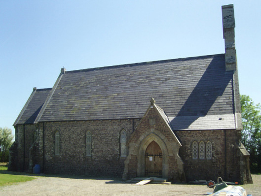 Saint James's Church (Horetown)church/chapel · 35 yd
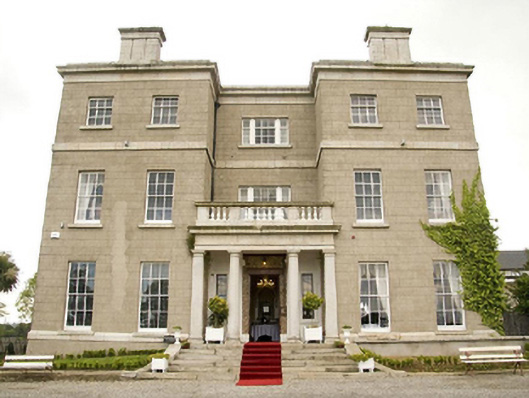 Horetown Housecountry house · 821 yd
 Castle (In Ruins)Ruins · 1406 yd
 Bawn in Tracystown WestBawn · 1409 yd
 TobershivaunHoly well · 1.5 mi
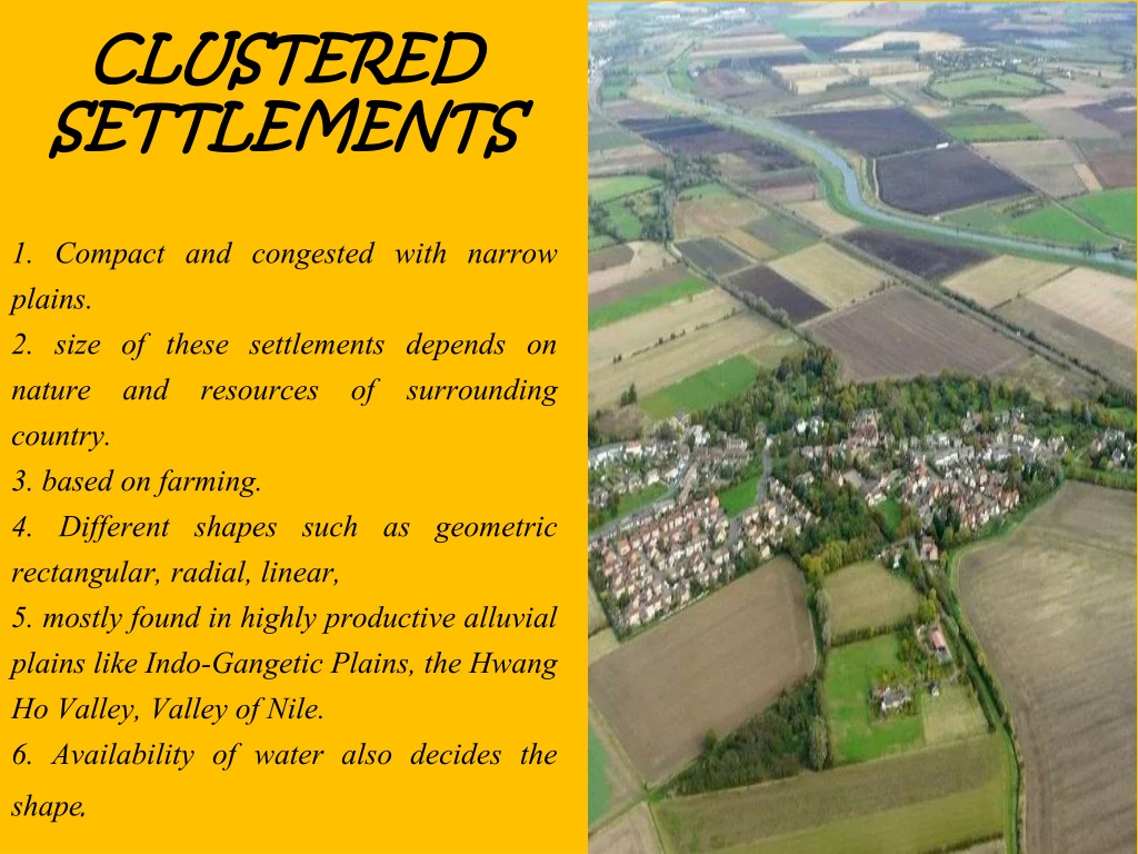 Settlement cluster in CoolcliffeSettlement cluster · 1.7 mi
 Coolcliffe HouseRuins · 2.0 mi
 Camaross HillMountain / peak · 4.1 mi
 Carrickbyrne HillMountain / peak · 4.3 mi
 Glenour MonumentMemorial · 4.7 mi
 Carrig-On-BannowVisitor information · 5.9 mi
 1798 MemorialMemorial · 5.9 mi
Other information
Photo: Credit not shown in the picture search · Rights wording not checked; contact us if this picture should be removed