What is recorded here
Situated on a level, low-lying landscape, with the slight valley of a small S-N stream c. 140m to the E. The parish church of Kilmore (WX052-002002-) is within a large rectangular graveyard (dims c. 80m ENE-WSW; c. 55m NNW-SSE) defined by masonry walls. The practice of leaving a wooden cross at a bush on one of three approach roads to the graveyard to commemorate each funeral is still continued (Anon 1972, 4). The ecclesiastical enclosure (WX052-002001-) probably does not include the W and N parts of the graveyard, but would extend into the field to the E.
Compiled by: Michael Moore
Date of upload: 18 February, 2014
The monument record does not grant public access. Check the route and ask the landowner before entering private land.
- What survives
- Recorded monument
Places near here
 Church in ruinsChurch · 16 yd
 St. Patricks WellHoly well · 307 yd
 Enclosure in Grange (bargy By., Kilmore Ed)Enclosure · 664 yd
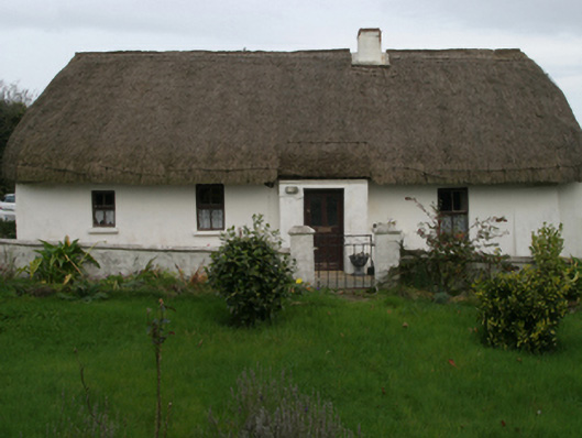 farm housefarm house · 671 yd
 Castle (in ruins)Castle, tower house · 1.4 mi
 Ivan Sutton Art ExhibitionGallery · 1.9 mi
 Ballyhealy BeachBeach / strand · 1.9 mi
 Kilmore Quay - Crehen Twinning MemorialMemorial · 1.9 mi
 Memorial Trail & Garden in Honour of Those Lost at SeaMemorial · 2.0 mi
 Whale boneHeritage attraction · 2.1 mi
 Kilmore Quay Walking TrailVisitor information · 2.1 mi
 CastleCastle, unclassified · 2.2 mi