What is recorded here
Cill Ruadh, a D-shaped graveyard in County Cork, vanished from maps between 1842 and 1905 after becoming a sandpit. The local story claims the site was untilled and sacred, yet human hunger for building material erased its boundary. What remains is a ghost in the soil, a warning that even death can be dug out and sold.
In tillage. Depicted as D-shaped graveyard (c. 48m SW-NE; c. 20m NW-SE) on 1842 OS 6-inch map, defined by curving broken line to SE, slightly angled field boundary to NW; remains of church (14423) indicated in centre. Graveyard not shown on 1905 OS 6-inch map. No visible surface trace. According to Power (1932, 96), 'known locally as Cill Ruadh; it is an untilled area about a quarter of an acre in extent...portion of which has been worked as a sandpit'. Holy well (13995) c. 130m to SW.
The above description is derived from the published 'Archaeological Inventory of County Cork. Volume 4: North Cork' (Dublin: Stationery Office, 2000). In certain instances the entries have been revised and updated in the light of recent research.
Date of upload/revision: 14 January 2009
The monument record does not grant public access. Check the route and ask the landowner before entering private land.
- What survives
- Recorded monument
Places near here
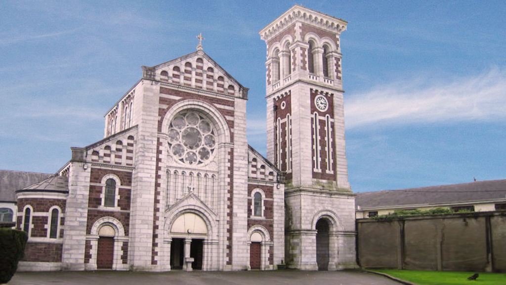 Church (Site of)Church · 11 yd
 Mound in KnockagarryMound · 1501 yd
 Saint Joseph's Catholic Churchchurch/chapel · 1582 yd
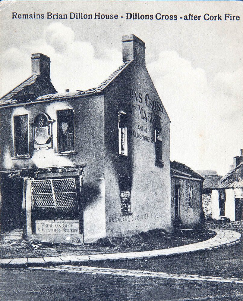 IndicatedHouse, vernacular house · 1627 yd
 Carriganoura Castle (in Ruins)Castle, tower house · 1.5 mi
 Ballyarthur HillMountain / peak · 1.7 mi
 White Knights Tower (Site of)Castle, unclassified · 2.2 mi
 John MandevilleMemorial · 2.8 mi
 Mitchelstown Town MapVisitor information · 2.8 mi
 Kilclooney WoodWood · 2.8 mi
 Statue of Saint FanahanMemorial · 2.9 mi
 CarrigeenamronetyMountain / peak · 4.9 mi