What is recorded here
Situated on a SE-facing slope. The parish church of Kilnenor (WX003-008003-) is within a graveyard which is an irregularly-shaped or D-shaped raised area (dims. 53.5m NE-SW; 46.5m NW-SE) defined by earthen bank and hedge (Wth 2-4m; H 1.5m). Kilnenor Well (WX003-008002-) is c. 30m SW of the graveyard.
The above description is derived from the published 'Archaeological Inventory of County Wexford' (Dublin: Stationery Office, 1996). In certain instances the entries have been revised and updated in the light of recent research.
Compiled by: Michael Moore
Date of upload/revision: 14 February 2012
The monument record does not grant public access. Check the route and ask the landowner before entering private land.
- What survives
- Recorded monument
Places near here
 graveyard/cemeterygraveyard/cemetery · 5 yd
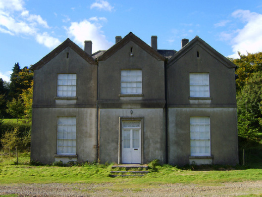 rectory/glebe/vicarage/curate's houserectory/glebe/vicarage/curate's house · 115 yd
 CastleCastle, motte · 1.0 mi
 White Heaps 1798Memorial · 1.3 mi
 Embanked enclosureFairy fort / ringfort · 1.6 mi
 Ballyfad WoodWood · 1.6 mi
 Monalee HillMountain / peak · 1.7 mi
 Newtown WoodWood · 1.7 mi
 Settlement cluster in LimerickSettlement cluster · 2.1 mi
 Ballythomas HillMountain / peak · 2.4 mi
 1798 MemorialMemorial · 4.2 mi
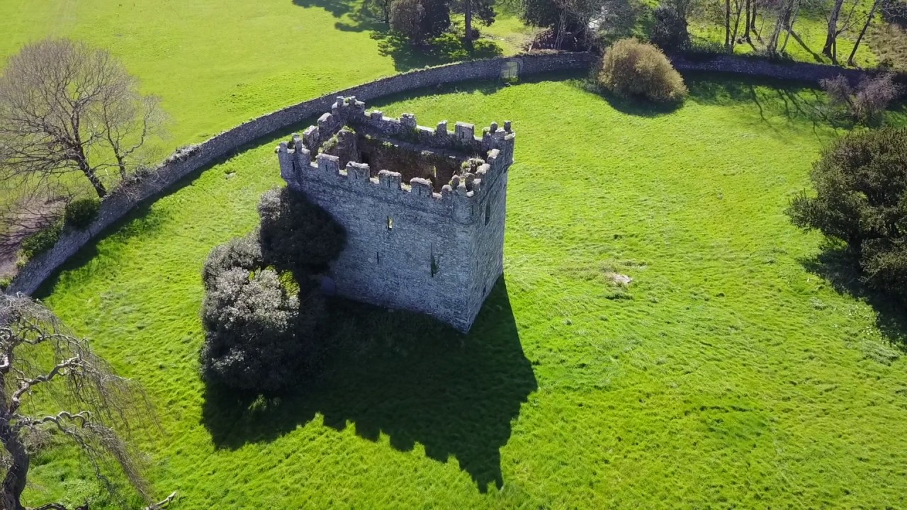 (Site of) Castle & RampartCastle, unclassified · 5.0 mi