What is recorded here
Located towards the bottom of the N-facing slope of a low E-W ridge. The site of the parish church of Kiltrisk (WX022-003001-) is within the rectangular graveyard (dims. 39m E–W; 35m N–S) defined by field banks on the E and S sides and a slight scarp elsewhere. There are no visible remains of a church at ground level and there is no evidence of burial, although the enclosure is described as a graveyard on the 1839 ed. of the OS 6-inch map. Kiltrisk Well (WX022-003002-) is c. 85m to the E.
Compiled by: Michael Moore
Date of upload; 15 June, 2012
A local ancient tomb; wider significance not recorded.
This remains an important historical record, but the official description says the monument is no longer visible or has been destroyed. The monument record does not grant public access. Check the route and ask the landowner before entering private land.
- What survives
- No visible remains or recorded as destroyed
Places near here
 Church (in ruins)Church · 1 yd
 Kiltrisk WellHoly well · 119 yd
 Embanked enclosureCastle, motte · 371 yd
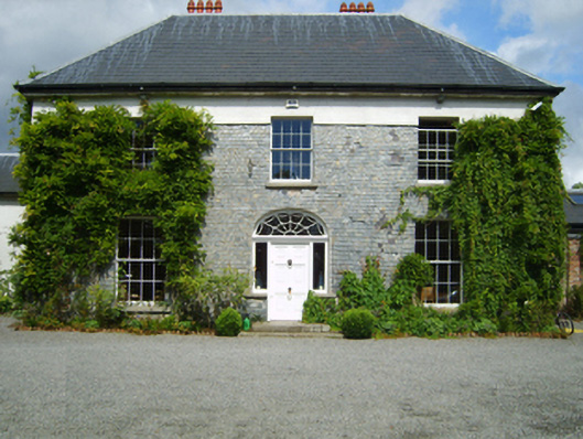 Clonganny Housecountry house · 1096 yd
 Shrule Deer FarmHeritage attraction · 1.0 mi
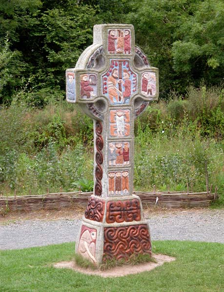 Cross in RaheenluskCross · 1.1 mi
 Site of Morris CastleCastle, unclassified · 2.1 mi
 The Cahore Polders and DunesNature reserve · 2.2 mi
 Wexford - TexasMemorial · 2.3 mi
 1798 MemorialMemorial · 2.5 mi
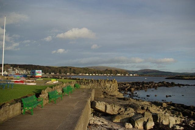 Newtown BeachBeach / strand · 2.8 mi
 Morriscastle BeachBeach / strand · 2.9 mi