
What is recorded here
Located towards the bottom of the N-facing slope of a low E-W ridge. Marked on the 1839 and 1924 eds of the OS 6-inch map and described as Kiltrisk Well in gothic letters on both. This is a natural spring with no evidence of veneration. Kiltrisk church site (WX022-003001-) and graveyard (WX022-002003-) are c. 100m to the W.
Compiled by: Michael Moore
Date of upload: 15 June, 2012
Kiltrisk Well is traditionally associated with St. Trist, a lesser-known early Irish saint, and was likely a site of pilgrimage and healing. The name "Kiltrisk" derives from "Cill Trísta," meaning "church of Trist," reflecting its historical and religious significance in the local area.
The monument record does not grant public access. Check the route and ask the landowner before entering private land.
- What survives
- Recorded monument
Places near here
 Church (in ruins)Church · 119 yd
 Embanked enclosureCastle, motte · 444 yd
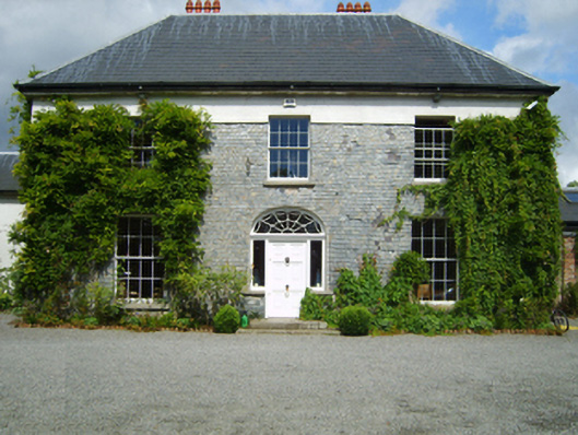 Clonganny Housecountry house · 1003 yd
 Shrule Deer FarmHeritage attraction · 1665 yd
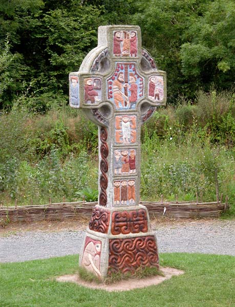 Cross in RaheenluskCross · 1.1 mi
 Habitation site in Upton (ballaghkeen By.)Habitation site · 1.9 mi
 Site of Morris CastleCastle, unclassified · 2.1 mi
 The Cahore Polders and DunesNature reserve · 2.2 mi
 Wexford - TexasMemorial · 2.2 mi
 1798 MemorialMemorial · 2.4 mi
 Newtown BeachBeach / strand · 2.7 mi
 Morriscastle BeachBeach / strand · 2.8 mi
Other information
Photo: Credit not shown in the picture search · Rights wording not checked; contact us if this picture should be removed