What is recorded here
Kilmasantan church and graveyard situated on W facing slope of rising ground overlooking the E bank of the River Dodder in Glenasmole, in the Dublin Mountains. A graveyard sub-rectangular in plan (dims. 57m SW-NE x 37m NW-SE) enclosed by a post-1700 stone wall with entrance gate at E. Within the graveyard is a church (DU025-033001-) and inside the gate to the N there is a medieval font (DU025-033003-). In 1179 this church and its lands were a sub-manor of Tallaght and part of the extensive church lands of the See of Dublin. This manor occupied the upper eastern Dodder Valley (Nolan 1992, 185). Possible ecclesiastical enclosure (DU025-033005-) of Kilmansantan monastery adjoining the N side of this graveyard.
Compiled by: Geraldine Stout and Padraig Clancy
Revised by: Caimin O'Brien
Date of revised upload: 10 March 2023
The monument record does not grant public access. Check the route and ask the landowner before entering private land.
- What survives
- Recorded monument
Places near here
 Saint Ann's GraveyardRuins · 1 yd
 (Site of) St Anns ChapelEcclesiastical site · 14 yd
 Saint Santans ChurchRuins · 28 yd
 Saint Ann's WellSpring · 224 yd
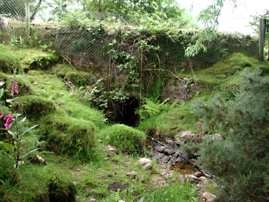 bridgebridge · 719 yd
 Habitation site in PiperstownHabitation site · 1064 yd
 SpinkeenMountain / peak · 1107 yd
 CastleCastle, unclassified · 1194 yd
 Ballymorefinn HillMountain / peak · 1.0 mi
 Featherbed ForestForest · 1.0 mi
 Dublin Mountains Way - Hellfire & Massey spurWalking route · 1.4 mi
 Ballinascorney WoodForest · 1.4 mi