
What is recorded here
Grave Yard holds the ruined parish church of Garryvoe and marks death in County Cork since at least 1751. Its oldest stones cluster near the church platform, while newer burials extend west, proving the place still serves the living. The cherub carvings and uneven boundary suggest a community that shaped faith, memory and loss long before modern roads passed beside it.
On W side of road, 200m S of Garryvoe crossroads; irregular shaped graveyard (c. 60m E-W; 30m N-S) which contains ruins of parish church of Garryvoe (CO077-03702-) to N of centre. Church is built on platform which extends to S and E of structure; older gravemarkers are confined to this area and inside church; earliest headstone dates to 1751 (Coleman 1907-9c), decorated with 'large Cherub and scroll border terminals' (O'Shea 1988, 80). In occasional use with new burials to W of church.
The above description is derived from the published 'Archaeological Inventory of County Cork. Volume 2: East and South Cork' (Dublin: Stationery Office, 1994). In certain instances the entries have been revised and updated in the light of recent research.
Date of upload/revision: 14 January 2009
The monument record does not grant public access. Check the route and ask the landowner before entering private land.
- What survives
- Recorded monument
Places near here
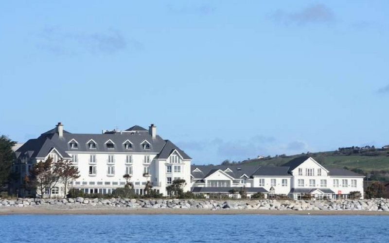 Garryvoe Church (in Ruins)Church · 20 yd
 Garryvoe Castle (in Ruins)Castle, tower house · 97 yd
 Fulacht fia in Garryvoe UpperFulacht fia · 343 yd
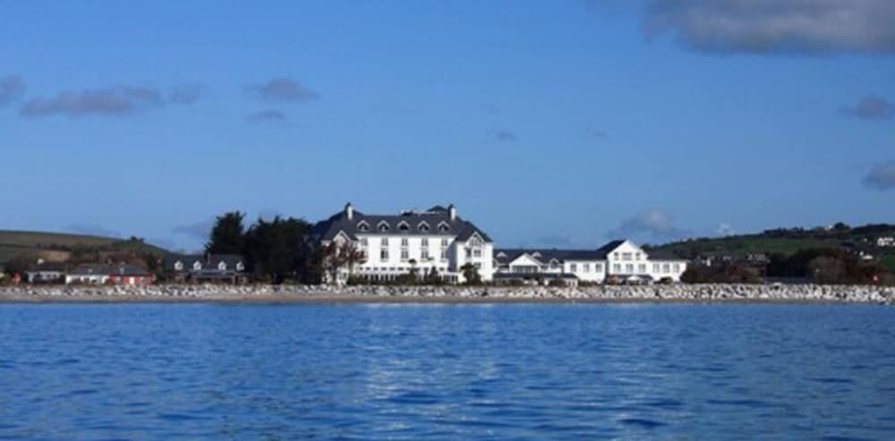 Enclosure in Garryvoe LowerEnclosure · 1131 yd
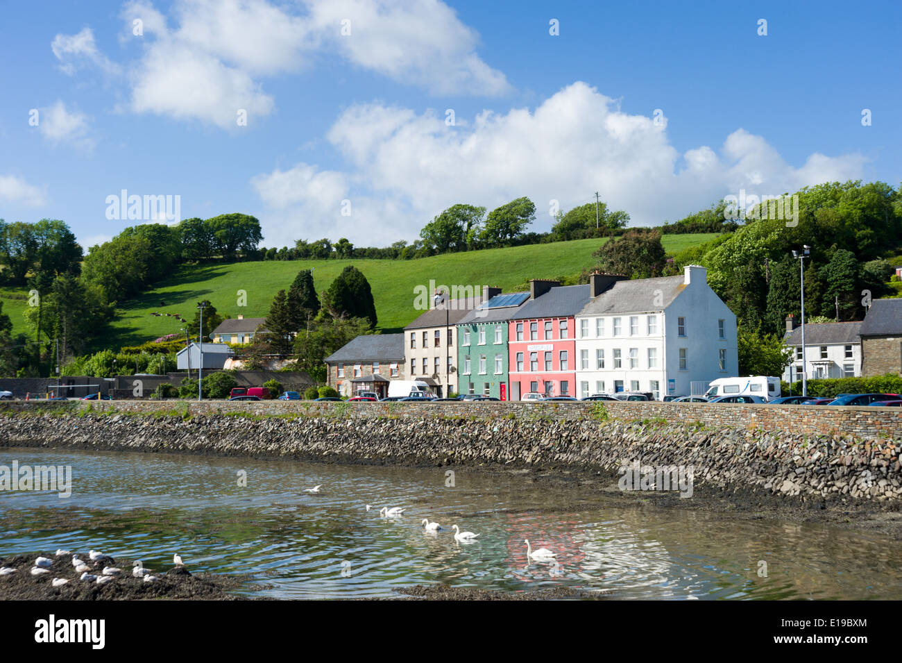 IndicatedHouse, vernacular house · 1537 yd
 Garryvoe BeachBeach / strand · 1.5 mi
 Castle (in Ruins)Castle, tower house · 1.5 mi
 Mitchell's WoodWood · 3.1 mi
 Ballycotton Island (Small)Islet · 3.3 mi
 P.N.L.B. Mary StandfordWreck · 3.3 mi
 Mary StandfordMemorial · 3.3 mi
 Ballycotton IslandIslet · 3.4 mi
Other information
Photo: Credit not shown in the picture search · Rights wording not checked; contact us if this picture should be removed