What is recorded here
On a low wooded spur overlooking lower pasture to E, S and W, c. 180m S of the River Liffey. A completely overgrown sub-rectangular area (c. 45m E-W; c. 40m N-S) is enclosed by a low, ivy covered earthen bank (int. H 1.2m; Wth 3.3m; ext H 1m.). The interior rises up from the perimeter towards the centre (H 1m over N; 1.8m over S), just N of which lie the foundation lines of a levelled church (KD029-013----). There is a medieval graveslab in the E sector, and the remaining legible burials date from the18th to the 20th-centuries.
Compiled by: Gearóid Conroy
Date of upload: 04 September 2013
The monument record does not grant public access. Check the route and ask the landowner before entering private land.
- What survives
- Recorded monument
Places near here
 Church (in Ruins)Church · 3 yd
 EnclosureEnclosure, large enclosure · 1252 yd
 St. Jamess WellHoly well · 1408 yd
 CastleCastle, unclassified · 1485 yd
 Castle in ruinsCastle, unclassified · 1.1 mi
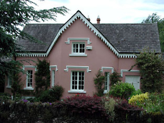 Peacock Cottagehouse · 1.1 mi
 Glen WoodWood · 1.8 mi
 European ashEuropean ash · 2.0 mi
 1798 memorial stoneMonument · 3.2 mi
 Saint Kevin's CaveMemorial · 3.8 mi
 Burial ground in CrehelpBurial ground · 4.0 mi
 Hollywood SignHeritage attraction · 4.0 mi