What is recorded here
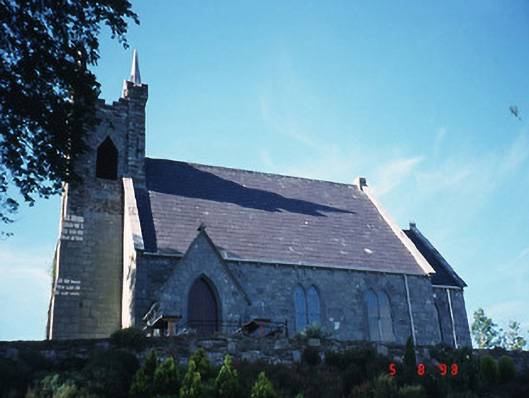
On a S-facing slope overlooking the valley of the Roughty River. A roughly rectangular area (c. 100m E-W; c. 60m N-S) bounded by a recently constructed stone wall (T 0.55m; H 1.5m). The earliest headstones noted date to the mid-19th century. One vaulted tomb, built of random rubble, lies immediately to the E of the Church of Ireland church (KE094-070----) which is in the W half of the graveyard. The graveyard is in occasional use. The graveyard and church grounds have recently been landscaped.
Compiled by: Elizabeth Byrne, Ursula Egan and Sheila Ronan, Archaeological Survey Unit, University College, Cork.
Date of upload: 30 May 2011
The monument record does not grant public access. Check the route and ask the landowner before entering private land.
- What survives
- Recorded monument
Places near here
 Michael J. Quill Centrechurch/chapel · 37 yd
 Glebe Ho.Ecclesiastical residence · 568 yd
 Coolanassig Br.Bridge · 663 yd
 Holy well in KilpadderHoly well · 779 yd
 Castle (Site of)Castle, unclassified · 1006 yd
 European YewEuropean Yew · 1067 yd
 Great Southern & Western RailwayMemorial · 1344 yd
 Battle of Callannbattle · 1.3 mi
 Kilgarvan Motor MuseumMuseum · 1.5 mi
 KnockbrackMountain / peak · 2.2 mi
 Hidden Valley Pet FarmHeritage attraction · 2.7 mi
 Knockbrack South TopMountain / peak · 3.0 mi