What is recorded here
Located on a W-facing col with Fourknocks ridge rising over it c. 0.7km to the N and a slight knoll c. 300m to the S. The parish church of Clonalvey (ME033-026----) is within a rectangular graveyard (dims c. 55m NE-SW: c. 45m NW-SE) defined by masonry walls with a NE-SW road outside it to the SE. The graveyard has headstones dating from 1743 to the present.
Compiled by: Michael Moore
Date of upload: 9 February, 2015
The monument record does not grant public access. Check the route and ask the landowner before entering private land.
- What survives
- Recorded monument
Places near here
 Church (in Ruins)Church · 8 yd
 The story of the milk standMemorial · 187 yd
 Enclosure in Grange (duleek Upper By.)Enclosure · 802 yd
 FourknocksPassage tomb · 1009 yd
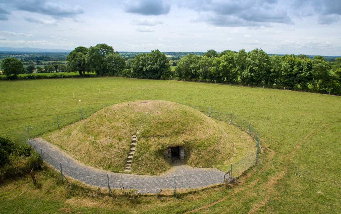 Four Knocks TombArchaeological place · 1185 yd
 QuarryQuarry · 1465 yd
 Naul Park HouseCastle, unclassified · 1.8 mi
 Westown HouseCastle, tower house · 1.8 mi
 Seamus Ennis Cultural CentreMemorial · 2.0 mi
 Naul HillMountain / peak · 2.1 mi
 Tullog WoodForest · 2.1 mi
 St. John's WellSpring · 3.0 mi