What is recorded here
Situated atop low rise of ground with good views in all directions, stream located immediately N of graveyard. St. Kieran's monastery (LA027-022001-) located 190m to NW, site of St. Kieran's Tree (LA027-023---) 115m to NNW, St. Kieran's Well (LA027-026---) 450m to ENE and 17th century wayside cross (LA027-025---) 80m to SW. Irregularly shaped graveyard (int. dims. 79m N-S; 54m E-W) enclosed by a post-medieval stone wall containing memorials dating from 1700 onwards. Graveyard gateway located at S end of W wall of graveyard with stone stile to N of gateway. Narrow entrance gate of recent appearance at NW corner of graveyard. Medieval church ruins (LA027-024---) in centre of graveyard. Some cut stone fragments from the medieval church ruins appear to have been reused as grave markers.
Compiled by: Caimin O'Brien
Updated by: Caimin O'Brien
Date of revised upload: 25 March 2015
The monument record does not grant public access. Check the route and ask the landowner before entering private land.
- What survives
- Recorded monument
Places near here
 Church (in ruins)Church · 16 yd
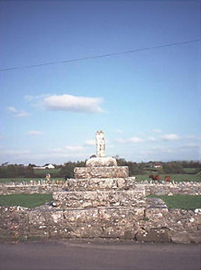 Errill Crosscross · 114 yd
 St. Kierans Monastery (Site of)Religious house, unclassified · 247 yd
 Ballagh CastleCastle · 1540 yd
 Enclosure in Knockardagannon NorthEnclosure · 1578 yd
 Bawn in Castlefleming Stubber,garrisonBawn · 1.0 mi
 Clonmeen WoodWood · 2.1 mi
 Tullow HillMountain / peak · 4.0 mi
 Carricknasrock WoodWood · 4.3 mi
 Black HillMountain / peak · 4.4 mi
 Cnoc SeanrathaMemorial · 5.0 mi
 DelaneyMemorial · 8.6 mi